1. From sand quarry to trash mountain to glass tower
The land that became Santa Fe spent three acts before the first corporate logo appeared on a tower. In the 1940s, it was a quarry: the ravines and volcanic soil of the western escarpment were mined for sand and gravel to feed Mexico City's postwar construction boom. When the extraction played out, the government found a new use for the empty pits — a place to put garbage.
From roughly 1950 through the late 1980s, the pits of Santa Fe received around 3,000 tons of Mexico City's garbage every day at peak operation, making it one of the largest open dumps in Latin America. The site was worked by pepenadores — waste pickers who sorted recyclables from incoming loads and built informal communities within the dump's perimeter, with their own internal economy. At peak, several thousand pepenadores and their families lived on site.
The displacement began in 1987 under Mayor Carlos Hank González. By 1991, workers had compacted the trash, layered sand and clay over it, and construction permits were issued. Engineers drove foundations into what was still, technically, a pile of garbage. The methane produced by 40 years of decomposition still needs to vent — those white PVC pipes at building bases throughout the district are that solution, not decoration. Centro Santa Fe mall opened in 1992. The first corporate towers followed within two years. In under a decade, Mexico City had converted its largest dump into its most conspicuously wealthy neighborhood.
2. Parque La Mexicana: the 30-hectare park built on the landfill's edge
The most accessible entry point into Santa Fe is Parque La Mexicana, a 30-hectare public park that opened in 2017 on land that was still part of the former landfill perimeter. Free entry, open daily 5 AM to 10 PM, address Boulevard de la Luz 5 in Colonia Lomas de Santa Fe.
The park's design is layered: upper level has grass fields, jogging paths, a skateboard ramp, and a basketball court; lower terraces hold two artificial lakes connected by walkways and an outdoor amphitheater built on the water's edge. The dog park on the lake's south side becomes genuinely chaotic Sunday mornings.
Along the restaurant corridor, Klein's is the most interesting option — a Mexican-Jewish delicatessen in the same vein as Mendl in Hipódromo: bagels, pastrami, brisket, latkes. It reads as an odd choice for this neighborhood until you realize Santa Fe has always imported things from elsewhere. Nevería Roxy at the park entrance handles dessert. The amphitheater hosts free concerts on some weekend evenings — check Parque La Mexicana's social media for the current schedule.
For fitness: the paved loop around the upper lake is 1.4 kilometers of flat path, heavily used by joggers and cyclists from the surrounding towers on weekday mornings. The grass terraces between levels become informal picnic territory on weekends.
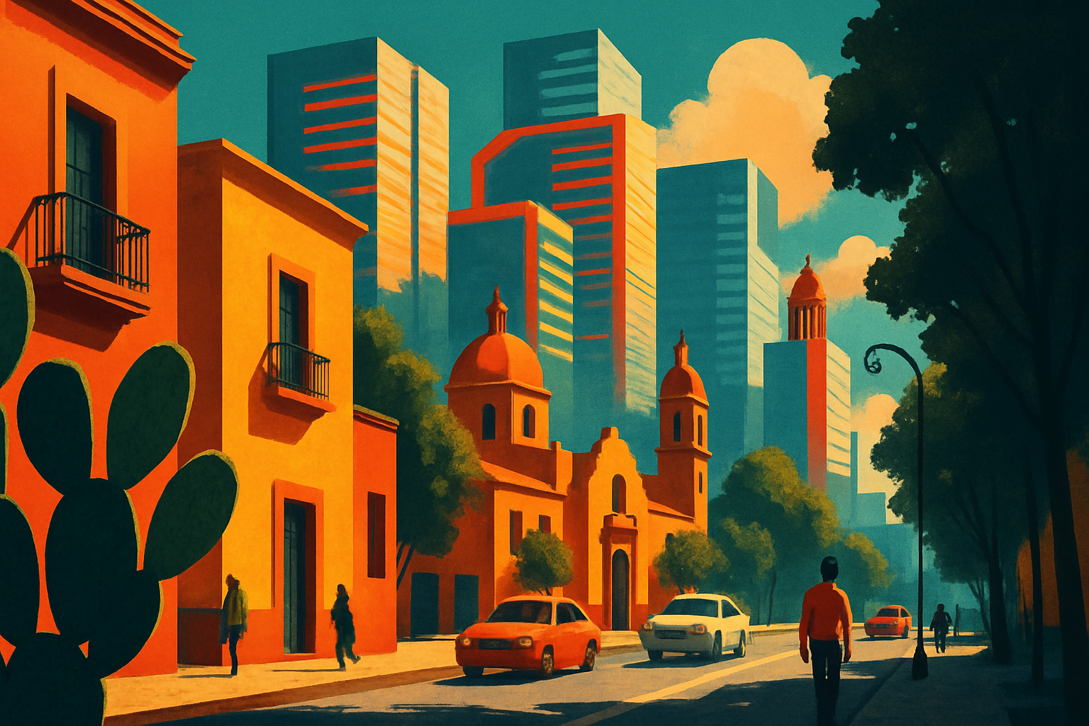
3. Avenida Vasco de Quiroga: the corporate main strip
Santa Fe organizes itself around Avenida Vasco de Quiroga, a wide commercial boulevard running roughly northeast to southwest through the district. The name comes from Vasco de Quiroga — the 16th-century Spanish bishop who organized indigenous artisan communities in the region west of Mexico City, establishing craft traditions that survive in towns like Pátzcuaro. It is a particular irony that a street named for him now runs through the headquarters of Santander, HSBC, and Televisa.
The towers represent a span of corporate architecture from the 1990s through 2010s. Two stand out: the Torre HSBC (2009, TEN Arquitectos) is one of the district's better-considered buildings, clad in a woven metal screen that changes appearance depending on light angle. The Arcos Bosques complex — twin curved towers connected by an arch — was intended to read as an entry gate when viewed from the Periférico; from ground level inside the district it mostly reads as a traffic obstacle.
Centro Santa Fe (370+ stores) sits along Vasco de Quiroga and is one of the larger enclosed malls in Latin America. Adjacent Garden Santa Fe is the more architecturally unusual space: an underground mall lit by tall glass atria that punch down from street level, bringing natural light into the lower retail floors. Worth seeing once.
4. Universidad Iberoamericana: the Jesuit campus on the cliff edge
The Universidad Iberoamericana — known universally as la Ibero — occupies a campus built on the western edge of Santa Fe, with several buildings cantilevering over the barranca cliffs below. It is a private Jesuit university founded in 1943, relocated to this site in the 1980s, and home to roughly 13,000 undergraduates.
The campus is worth visiting. Architecturally, the hillside site produced more interesting buildings than the flatland towers nearby: the library and academic buildings follow the terrain, with bridges and covered walkways linking levels separated by significant grade changes. The Biblioteca de la Ibero is an open-stack library that admits outside visitors with a day pass — arrive before 10 AM on weekdays or call ahead.
The Ibero's political history is also specific. In 2012, students here organized #YoSoy132, a protest movement against presidential candidate Enrique Peña Nieto after he visited the campus and students challenged him directly. When government spokespeople dismissed the protesters as not being real students, students responded by posting videos of their university IDs en masse. The viral campaign became the largest student political movement in Mexico since 1968. The steps outside the main auditorium where the confrontation happened are still pointed out by older students.
5. The barrancas: why Santa Fe feels like an island
The physical reason Santa Fe feels disconnected from the rest of Mexico City is the system of barrancas — deep ravines carved into the western volcanic escarpment — that nearly encircle the district. The Barranca de Becerra to the northeast and Barranca de Tarango to the south form the natural moat: Santa Fe is accessible by road at only a handful of bridge crossing points. This is why traffic leaving the district on a weekday morning is so extreme — tens of thousands of workers funnel out through five or six connections.
The ravine edges are worth reaching on foot. The cliff tops along the district's perimeter offer dramatic views of the western valley — on clear days the volcanic chain including Popocatépetl and Iztaccíhuatl is visible from the higher promontories. The floor of the ravines is wooded and green, a jarring contrast to the towers above. From Parque La Mexicana, walk west along Boulevard de la Luz for about 10 minutes to reach the cliff edge. Trails run along parts of the Barranca de Tarango maintained by the Álvaro Obregón borough.
6. Where to eat in Santa Fe Mexico City
The honest answer: Santa Fe is not a neighborhood you visit for food culture. The restaurant ecosystem serves corporate towers — expense-account steakhouses, hotel dining rooms, fast-casual chains for office lunches. But specific addresses are worth knowing.
Klein's at Parque La Mexicana is the most interesting meal option in the district. Eno at the JW Marriott Santa Fe (Prolongación Paseo de la Reforma 500) runs a contemporary Mexican menu with seasonal ingredients and a serious wine list — appropriate if you're staying nearby or meeting someone for dinner.
For affordable eating: on weekdays, food trucks and stands concentrate along the base of the towers between Vasco de Quiroga 220 and 380 — comida corrida for 80-120 MXN, tacos at 20 MXN, aguas frescas. The office lunch crowd keeps it functional and honest. This strip operates identically to any other corporate district in the city, which is both the limitation and the point: Santa Fe outside the park and the campus is exactly the corporate district it was designed to be.
7. How to get to Santa Fe from central Mexico City
By metro and connecting bus: Take Metro Line 1 (pink) to Observatorio, the western terminus. Exit toward the bus bays on the exterior of the CETRAM (the multimodal hub). Look for peseros or buses marked 'Santa Fe' or 'Periferico Santa Fe' — the route runs west along Periférico and delivers you to the base of Vasco de Quiroga in about 20-25 minutes. Total journey from Zócalo: roughly 50 minutes. Cost: 12 MXN metro + 7-10 MXN bus.
By Uber or Cabify: 30-45 minutes from Roma Norte or Condesa in normal traffic, around 120-160 MXN. On weekday mornings between 7 and 10 AM, the barranca crossings can extend this to 60+ minutes. Weekends, the same journey runs 20-25 minutes.
On foot from anywhere central: Not realistic. Santa Fe's isolation by barranca is geographic, not just a traffic problem — there is no pedestrian route from the rest of the city into the district.
8. Is Santa Fe worth visiting as a tourist?
It depends on what you want. If you're after Mexican street culture, neighborhood food, or walking architecture: spend your time in Roma Norte, Coyoacán, or Centro Histórico instead. Santa Fe gives you glass towers and corporate plazas — aesthetically it could be Santiago or Dubai.
The reasons to go anyway: Parque La Mexicana is a genuinely excellent free park; the barranca views are unlike anything else in the city; the Ibero campus is an interesting architectural walk with a specific political history; and the origin story — glass towers on a former landfill, methane pipes in the foundations, waste pickers displaced to make room for a financial district — is one of the more revealing things about how contemporary Latin American cities actually get built. The most interesting version of any city is usually the story that doesn't appear on the tour bus route.