1. The volcano the Aztecs called the Naked Man
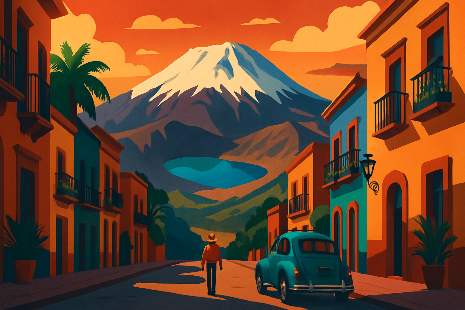
Xinantecatl — the Nahuatl name that translates roughly as 'naked man,' a reference to its bare, snowcapped summit — is a stratovolcano in the State of Mexico, about 80 kilometers west of CDMX. It last erupted roughly 3,300 years ago, and what it left behind is a broad caldera containing two lakes: Laguna del Sol (Sun Lagoon) on the eastern side of the crater floor, and Laguna de la Luna (Moon Lagoon) on the western side. Both sit at around 4,200 meters elevation inside the caldera. The volcano's highest point, a crag called El Fraile, reaches 4,680 meters — making Xinantecatl the fourth tallest peak in Mexico, behind Pico de Orizaba, Popocatepetl, and Iztaccihuatl. The site is federally protected as the Parque Nacional Nevado de Toluca, managed by CONANP, covering roughly 53,000 hectares of pine-fir forest, high meadow, and volcanic rock. The Aztecs considered the peak sacred — a home of Tlaloc, the rain deity — and archaeologists have recovered ceramic offerings near the crater lakes from pre-Hispanic ritual deposits. That context matters when you're standing on the crater floor: the silence and the bareness are the same things that made this place feel significant to people four centuries before the Spanish arrived.
2. Getting from Mexico City to the trailhead
The self-guided route by public transit: take Metro Line 1 (the pink line) west to Observatorio station, the terminal stop. Exit toward the bus terminal — Terminal Poniente — which connects directly to the metro via a covered walkway. Inside, find windows marked Toluca or look for operators like ETN, Herradura de Plata, or the highway bus counters. Buses leave every 15-20 minutes and cost 70-90 pesos; travel time is 50 minutes on a good morning and up to 1.5 hours in heavy traffic. You arrive at Terminal de Autobuses de Toluca on Avenida Sebastian Lerdo de Tejada. From there, open Uber or negotiate with a taxi for the ride south to Parque Los Venados, the main access point for the volcano. This leg takes 45-55 minutes on winding mountain roads and costs roughly 250-350 pesos. Total time from Observatorio metro to the trailhead: around 2 to 2.5 hours. If you're driving, take the Autopista Mexico-Toluca (15D) west toward Toluca, then follow signage for Zinacantepec and continue south to the national park entrance. Leaving CDMX before 7 AM clears the city before rush hour — add 30-45 minutes to your estimate if you leave later. Guided tours departing from Mexico City are the easiest option logistically: operators on platforms like Viator bundle round-trip transport, a local guide who knows the trail, and sometimes lunch in Toluca. Prices run 800-1,400 pesos per person depending on group size and inclusions.
3. The hike into the crater
Current park policy requires entering on foot from Parque Los Venados, a wooded area at roughly 3,700 meters where vehicle access ends. From there, a clear trail climbs through pine and fir forest for the first section before the tree line gives way to open volcanic rock and scree. The ascent to the crater rim takes approximately 2 to 2.5 hours for a reasonably fit hiker moving at altitude pace — meaning slower than instinct suggests. Once you cross the rim, the trail descends into the caldera to the lake shores. Budget 5 to 7 hours total for a round-trip: 2-2.5 hours up, 1-1.5 hours at the lakes walking between them, and 1.5-2 hours back down. The descent is faster but harder on the knees on the loose scree sections before the forest begins again. There are no food or water vendors anywhere on the trail or inside the crater — everything you need comes with you.
•Trailhead: Parque Los Venados, approximately 3,700 meters elevation
•Crater floor: approximately 4,200 meters — the lakes are here
•Highest rim crossing: approximately 4,400-4,500 meters
•No technical gear required — trail shoes or light hiking boots are sufficient
•No water on the route — carry at least 2 liters per person
4. The two crater lakes
Laguna del Sol is the larger lake and occupies the eastern section of the caldera. Its color is its most striking feature: the mineral content of the water gives it a milky, semi-opaque quality, and the color shifts between gray-green and turquoise depending on light, cloud cover, and your angle of view. In late morning on a clear day, it reads as bright aqua against the black volcanic rock surrounding it. Laguna de la Luna is smaller, positioned on the western side, and sits deeper in the caldera's shadow. Its water is darker — a deeper, colder blue — and the mood around it is quieter than the larger lake. A trail along the caldera floor connects the two, and from the low ridge between them you can see both simultaneously, with the bare volcanic peaks framing the scene on all sides. The atmosphere inside the crater is genuinely unlike almost anywhere else in central Mexico. No vegetation, no ambient sound except wind, no urban reference point. The Aztec context is easy to understand here — this is a place that was clearly not meant to be a city or a farm or a marketplace. You can see why Tlaloc was said to live inside volcanoes: the crater has the quality of somewhere that belongs to weather and geology, not people.
5. Altitude: what to expect at 4,200 meters
Mexico City is at 2,240 meters — higher than most visitors are used to, and enough altitude that some people feel mild symptoms in their first 24 hours. The Nevado de Toluca crater floor is at 4,200 meters, adding another 2,000 meters on top of that. At this elevation, the air contains roughly 40% less oxygen than at sea level. Altitude sickness (soroche) can affect anyone regardless of fitness level, and it comes on faster when you ascend quickly from a lower starting point. What to watch for: headache, nausea, dizziness, fatigue out of proportion to the effort, or a sense that breathing is harder than it should be. These are early symptoms — if any appear, slow down or descend. Do not push through them. The most common experience for first-time visitors is being surprised by how labor-intensive uphill walking feels. A section that would take 10 minutes at sea level takes 15-20 at 4,000 meters. Build that into your schedule and your expectations. To prepare: spend at least 48 full hours at Mexico City's altitude before the day trip, drink water consistently starting the night before, skip alcohol the day before, and eat something light before the hike. Acetazolamide (diamox) is available over the counter at pharmacies in Mexico City including Farmacias del Ahorro and Farmacias Similares — if you know from previous experience that you are altitude-sensitive, ask a pharmacist about dosage.
6. What to pack and what to wear
The temperature difference between Mexico City and the crater is significant in every season, and it can be severe in the mornings. Even in June, when CDMX is warm, the crater can be near freezing when wind moves through. Layers are the entire system. Outer layer: a waterproof windbreaker or rain jacket — essential from June through October. Mid-layer: a fleece or light down jacket. Base layer: moisture-wicking fabric, not cotton, which becomes cold and heavy if it gets wet. Footwear: trail shoes or low hiking boots with ankle support. The scree sections are not stable underfoot in running shoes. Sun protection: UV intensity at 4,000 meters is significantly higher than at sea level — sunscreen on all exposed skin, sunglasses, and a brimmed hat. Water: 2 liters minimum per person. Snacks with salt: electrolytes help with altitude symptoms. Nuts, crackers, and electrolyte tablets are more useful than sugary snacks at this elevation. Pack light overall — unnecessary weight amplifies fatigue above 4,000 meters in a way that is noticeable on every uphill step.
7. Best time to visit, safety, and park fees
Best time to visit: The dry season from November through April is the most reliable window for clear skies. January and February can bring snow to the crater rim and partial ice on the lake edges — if that sounds appealing, those months are the peak. May and early June are also good before the rains establish. From June through October, afternoon storms are nearly guaranteed, but morning visits are still viable if you start early. The rule is simple: be inside the crater by 10-11 AM and descending before 1 PM. Is it safe? The main risks at Nevado de Toluca are altitude-related and weather-related, not security. The trail is used regularly by other hikers on weekends, the path is clear in its main sections, and the park is well inside a protected area without the urban crime risks of Mexico City. The sensible precaution is to not hike alone — going with at least one other person is common sense at this altitude. Park entry fee: Parque Nacional Nevado de Toluca charges a per-person entry fee at the park gate, typically 50-80 pesos for domestic visitors and somewhat higher for international visitors. Fees are set by CONANP and subject to change; carry cash because there is no card reader at the gate. Combining with Toluca: The city of Toluca is worth a stop on the way back — its Cosmovitral Botanical Garden, a stunning Art Nouveau greenhouse made of colored glass, and the Mercado 16 de Septiembre are both easy stops that add an hour to the return leg without major effort. For a guide to Toluca's city highlights, the Toluca from Mexico City guide covers the city in detail.