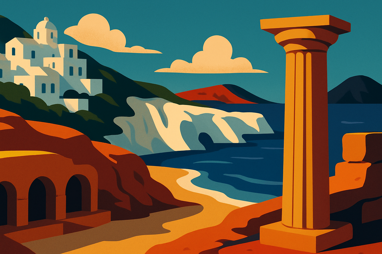
1. Why Milos looks the way it does — and why that matters for travelers
Milos is a volcanic island, but not in the way Santorini is volcanic. Santorini is a caldera — a collapsed crater — dramatic and post-catastrophic. Milos is a low-profile shield volcano that has been geologically active but not catastrophically so, building a crescent-shaped island with an enclosed bay at its center (the Bay of Milos, which you sail into arriving by ferry) and a coastline that reflects millions of years of mineral layering at the water's edge.
The island sits on deposits of obsidian — volcanic glass, sharp enough to serve as a cutting tool — and Milos was the primary obsidian source for the entire Aegean from roughly 13,000 BC through the Bronze Age. Artifacts from Milos obsidian have been found as far away as Asia Minor and Egypt, meaning Milos was running a sophisticated trade network before most Mediterranean civilizations could write. The Milos Mining Museum in Adamas, housed in the building of a former mining company, traces this history through the Bronze Age obsidian trade, the Roman sulfur extraction, the 19th-century baryte and bentonite mining that brought industrial-scale extraction to the island, and the modern period.
The colors of the beaches — white at Sarakiniko, red at Paleochori, black-and-gold at Tsigrado, the multicolored cliffs at Firiplaka — are the direct expression of this geology. Each color is a different mineral layer exposed by wave action: white is volcanic tuff, red is iron-rich clay, black is basalt. Nowhere else in the Cyclades do you walk from one completely different-colored beach to the next within a 20-minute drive.
2. Sarakiniko: the lunar beach and what you actually do there
Sarakiniko is the image you've seen of Milos before you go: bone-white volcanic rock formations carved into curves and hollows by wind and wave, dropping into flat turquoise water so clear you can see the bottom at four meters. The name means 'Saracen' — a reference, probably unreliably, to Saracen pirates who allegedly sheltered here in the medieval period. The geology is more reliable: these are pumice and tuff formations, bleached white by centuries of salt and ultraviolet exposure, shaped into smooth organic curves that read as lunar by association rather than actual resemblance.
The practical reality of Sarakiniko: there is no sand. You enter the water from rock ledges at various heights (most are easy; a few require a small jump of one to two meters). The water is cold relative to the air — typically 22–24°C in June — and very clear. The rock formations include multiple platforms, channels, and shallow inlets, so you can spend an hour exploring the shapes without getting in the water at all.
The site has no facilities. No umbrellas, no beach bars, no shade. Bring water, wear shoes you can walk on wet rock in, and time your visit outside the midday heat window. The 3-kilometer road from Adamas is paved and the small parking area fills by 10 a.m. in July; arriving by scooter makes early-morning visits much easier. The view from the ridge above the formation, looking back toward Plaka village on its hilltop, is one of the best inland views on the island.
3. Kleftiko, Papafrangas, and Sykia: the sea caves of Milos
Milos has three major sea cave systems, each formed differently and each requiring different access.
Kleftiko, on the island's southern coast, is the most dramatic: a complex of towering white rock pillars, sea arches, and underwater passages accessible only by water. The name means 'thieves' place' — Kleftiko functioned as a hiding spot for pirates (likely Maltese corsairs raiding Ottoman shipping) well into the 18th century, which is why there is no road to it. Half-day boat tours from Adamas spend 90 minutes to two hours here, including swimming in the caves and snorkeling through the rock arches. The water color inside the formations — shading between deep blue, emerald, and pale jade depending on the depth — is the reason Kleftiko photographs consistently look like they were digitally altered. They weren't.
Papafrangas, on the north coast, is the accessible alternative: a narrow canyon cut into white volcanic rock that you walk into from shore level, emerging into a sea cavern open to the sky with a small shingle beach at its base. No boat required. The entrance is a slightly obscure path near the village of Pollonia on the northeast coast; the canyon is about 30 meters deep and opens into three connected sea inlets. Calm conditions required — the swell comes straight in from the north in rough weather.
Sykia, on the west coast near the village of Triades, is a collapsed sea cave: the roof has fallen in, creating a circular opening to the sky above a chamber filled with sea water, with textured white stone walls going down to the waterline. Accessible only by sea kayak or small boat. The Sykia cave kayak tour operates from Adamas and Pollonia and is a half-day option distinct from the standard Kleftiko boat trip — worth considering if you want a more active experience.
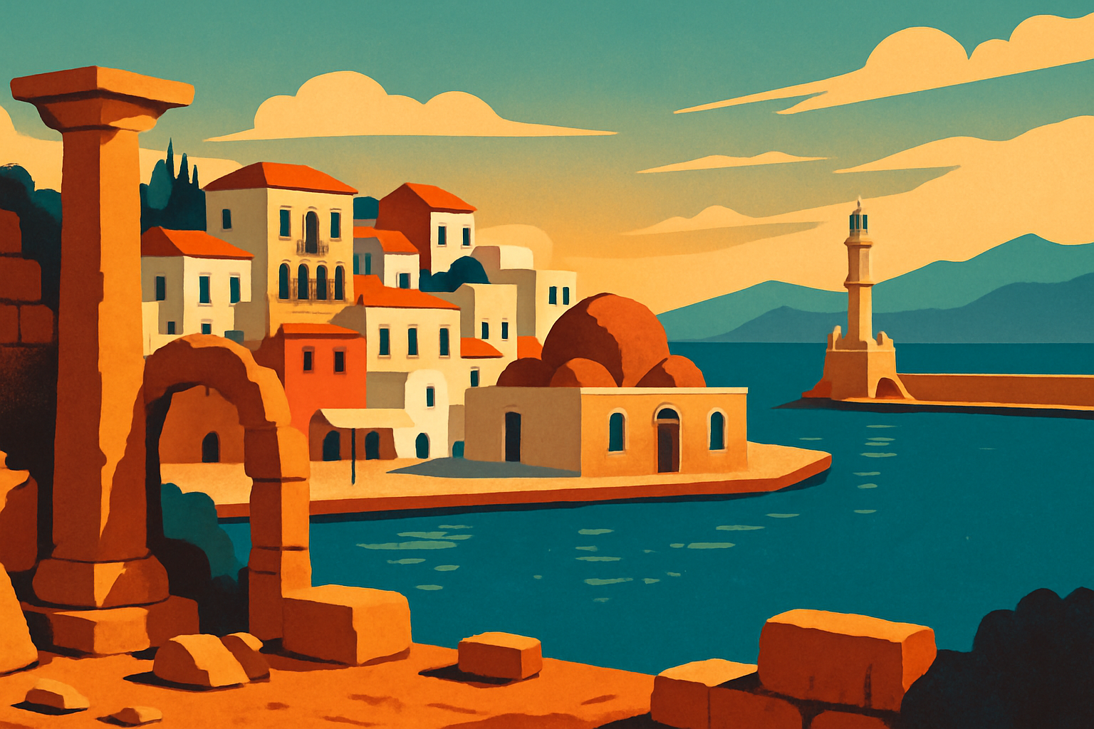
4. Plaka, the Kastro, and the syrmata villages
Plaka is Milos's capital — the hora — built on a hilltop 4 kilometers north of Adamas port with the Kastro (the medieval castle hill) at its peak. The settlement follows the Cycladic pattern: whitewashed cubic houses connected by stairs and passages too narrow for cars, small churches in blue-domed or terracotta-tiled variations, and a concentrated cluster of cafes and restaurants at the top oriented toward the sunset view over the Bay of Milos.
The Kastro — the Venetian-era hilltop fortification at Plaka's summit — dates primarily from the 13th century when the Duchy of Naxos controlled the Cyclades. The outer walls are mostly intact; the interior has been absorbed into residential buildings over centuries. The view from the top takes in the bay, the harbor of Adamas, the open Aegean to the west, and the pale shapes of Folegandros and Sifnos on clear days. The sunset from the Kastro is one of the best in the Cyclades precisely because it is less photographed than Oia in Santorini and the viewing platform is unfenced and undeveloped.
The syrmata are the architectural feature that makes Milos genuinely different from every other Cyclades island. These are arched boat garages cut or built at the water's edge, each one wide enough for a single fishing boat, painted in distinct bold colors — the tradition is that each fisherman painted his syrmata the same color as his boat so he could identify it from the water. The best concentrations are at Mandrakia (8 km from Adamas on the north coast, reached by a winding road that drops steeply to the water), Fourkovouni (immediately east of Adamas, walkable in 15 minutes), and Klima (the syrmata village directly below Plaka, accessible by a short steep descent). Klima is the most visited; Mandrakia is the most intact as a working fishing community.
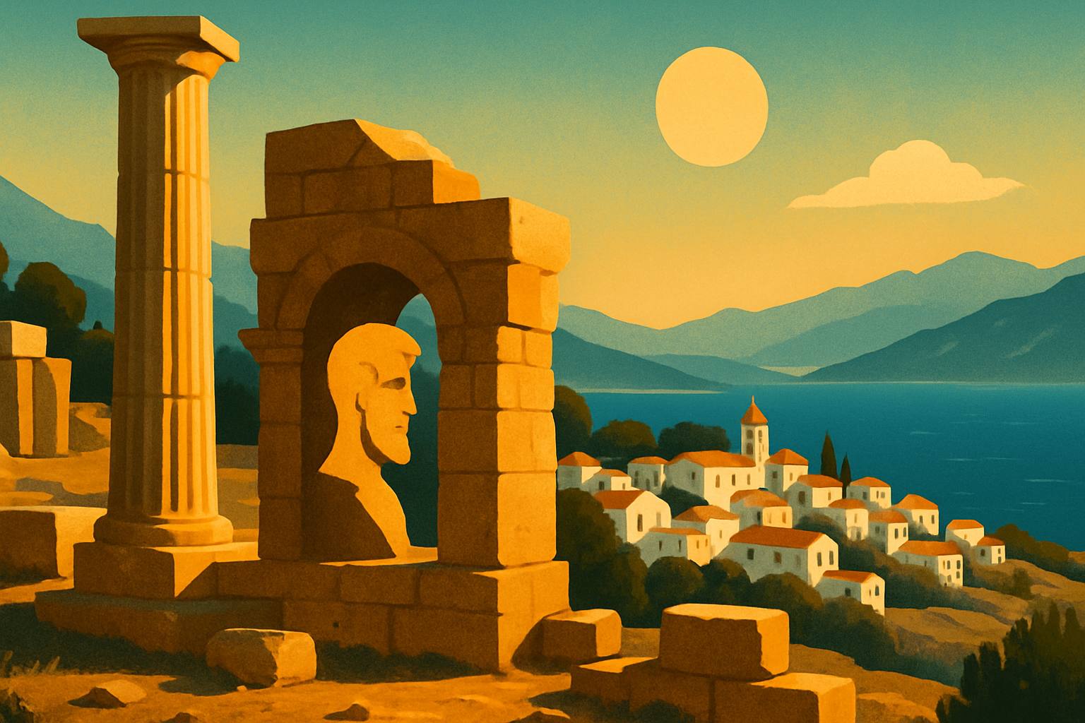
5. The Catacombs of Milos and the Venus de Milo — the two things most visitors miss
Just outside the village of Tripiti — a 10-minute drive from Adamas, just below Plaka — two of the most significant archaeological sites in Greece sit within 200 meters of each other, visited by a fraction of the people who go to Sarakiniko.
The Catacombs of Milos are the third most important early-Christian site in the world after the Holy Land and the catacombs of Rome — a ranking based on scale, preservation, and historical significance. They date from the 1st century AD and were in active use through the 5th century; an estimated 7,000 to 8,000 early Christians are buried in the network of three chambers, five corridors, and numerous tomb niches cut into the soft volcanic rock. The excavation was done primarily by German archaeologist Ludwig Ross after their rediscovery in 1840. The guided tour (required — independent access is not permitted) runs about 20 minutes through the underground passages, which are cool, low-ceilinged, and lit enough to see the carved tomb arches and Greek inscriptions in the rock walls. Admission is €6; the site opens at 8:30 a.m. and is least crowded first thing.
Five minutes' walk from the catacombs, marked by a simple sign near a cultivated field, is the site where farmer Georgios Kentrotas was digging to expand a wall in April 1820 and struck something white in the earth. The marble figure — the Venus de Milo, or more accurately the Aphrodite of Milos — was complete enough to be immediately recognized as significant. French naval officers negotiating in the area arranged its purchase and transfer to France; it arrived in Paris the following year and has been in the Louvre ever since. The field itself is unremarkable — a small marble slab marks the spot — but standing there knowing the provenance is worth the short detour. Milos has a small Archaeological Museum in Plaka that holds finds from the island including pottery, figurines, and a cast of the Venus.
6. Where to eat in Milos: the fish tavernas worth knowing
Milos has a genuine food culture built on fish from the bay, local vegetables, and the island's own soft cheese — Milos white cheese, similar to anthotyros, made from a combination of sheep and goat milk, served fresh and slightly grainy. The restaurants worth knowing are spread across the island rather than concentrated in one tourist strip.
O Hamos in Adamas, on Papikinou beach within walking distance of the ferry port, is the most consistently recommended restaurant on the island among people who live there. The kitchen uses its own farm produce — vegetables, cheese, meat — and the menu changes with what is available: stuffed zucchini blossoms in early summer, grilled octopus year-round, slow-braised lamb when available. The name means 'chaos' in Greek slang, and the restaurant justifies it in peak season — expect waits on weekday evenings in July and August. Arrive at 7 p.m. before the rush or after 10 p.m.
Medusa in Mandrakia is the fish taverna in the boat-garage village on the north coast — tables on the water's edge, a menu built around whatever the fishing boats brought in that morning, and a specific preparation of swordfish souvlaki (chunks of marinated swordfish grilled on a skewer) that is difficult to find elsewhere in Greece in this quality. The catch also typically includes fresh sardines grilled simply with salt, lemon, and olive oil. Medusa doesn't take reservations; lines form in peak season. The drive is 8 km from Adamas on a road that ends at the water.
Utopia in Plaka — in a garden terrace at the top of the village overlooking the bay — runs as a wine bar and mezedopoleio in the late afternoon, transitioning to dinner after sunset. The sunset view from the garden terrace is direct and unobstructed, making it one of the better-located sunset spots on the island for people who want food and wine alongside the view rather than just a lookout.
7. Is Milos worth it — and how does it compare to Santorini and Paros?
Is Milos worth visiting? The straightforward answer: Milos has more variety per square kilometer than any other island in the Cyclades. Seventy beaches in visibly different colors, genuine archaeological depth (catacombs, Bronze Age obsidian trade, Venus de Milo discovery site), intact fishing villages that have not been converted to tourist infrastructure, and a restaurant scene that relies on local production rather than mainland supply chains. The island has no airport on the scale of Santorini's and no cruise ship terminal, which keeps the daily visitor count manageable even in peak season.
Milos vs. [Santorini](/gr/blog/santorini-travel-guide): Santorini is a destination organized around its caldera view and its wine. Milos is a destination organized around its geology and its coastline. Santorini is busier, more expensive (accommodation costs roughly 40–60% more in equivalent categories), and architecturally more dramatic in the sense that the caldera drop is a singular experience. Milos has more beach variety, fewer crowds, and more functioning local life. They are genuinely different rather than ranked alternatives.
Milos vs. [Paros](/gr/blog/paros-island-guide): Paros is better connected (it sits on the main Cyclades ferry line) and better for nightlife. Milos is better for geological tourism, unusual beaches, and fish tavernas. Paros in June is noticeably more crowded; Milos in June still has pockets of genuine quiet.
What Milos doesn't have: No famous town nightlife, no large luxury resort scene, limited English signage outside Adamas and Plaka. If a lively bar strip is important to your travel, Milos will disappoint.
8. How to get to Milos and when to go
By ferry from Athens (Piraeus): The standard way in. Ferries from Piraeus Gate E9 run daily in summer, with high-speed catamaran options (Seajets, Hellenic Seaways) making the crossing in about 3.5 hours and conventional ferries in 5.5 to 7 hours. Book via Ferryhopper or Directferries. In June, there are typically 2–3 daily departures each way; by July this increases to 4–5. The conventional overnight ferry is worth considering if you want to save a night's accommodation cost — it departs Piraeus around midnight and arrives in Adamas at dawn.
By plane from Athens: Sky Express operates direct flights from Athens International Airport (ATH) to Milos Airport (MLO), a 40-minute flight. The airport is 4 km from Adamas and has no public bus; taxis cost €8–10. The flight schedule runs once or twice daily depending on the season, and seats fill early for June and July — book six to eight weeks out.
Island connections: Milos connects by ferry to Sifnos (45 minutes on a fast boat) and Folegandros, which makes it a natural starting or ending point for a southwestern Cyclades island-hopping circuit.
Best time to visit: The window from late May through mid-June is currently the best combination of good conditions and manageable crowds — warm enough for swimming (sea temperature 22–24°C), full services open, and the island at around 60% of peak-season capacity. July and August are hotter (32–36°C), more crowded, and accommodation prices peak sharply. September is excellent if you can do it — water is warmest (26°C), crowds thin after the first week, and the late-afternoon light on the rock formations is the best of the year.