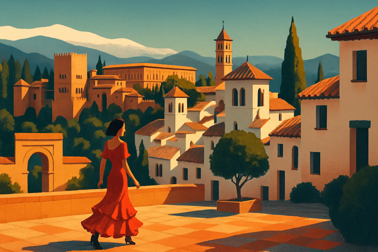
The Albaicín — spelled Albayzín in older texts, from the Arabic al-Bayyazín, meaning 'quarter of the falconers' — was already a distinct urban settlement when the Zirid Berber king Zawi ibn Ziri established Granada as his capital around 1013 CE. Its hilltop position, directly across the Río Darro from the later Alhambra promontory, made it the logical site for the city's original alcazaba, or fortress-palace. That 11th-century citadel, the Alcazaba Cadima, is largely gone, but its walls are embedded in the structures along Calle Pagés, and fragments are visible if you know where to look.
The neighborhood reached its greatest density and sophistication under the Nasrid dynasty (1232–1492), the last Islamic ruling house of the Iberian Peninsula. At its height, the Albaicín housed roughly 40,000 people — a population density comparable to medieval Cairo — within a network of some 30 mosques, multiple hammams (bathhouses), cisterns fed by a Roman and Moorish hydraulic system, and several maristanes (hospitals). The city's water supply, channeled from the Sierra Nevada via the acequia del Sultán and the acequia de Aynadamar (from the Arabic 'ayn al-dam'a, 'fountain of tears'), was a feat of hydraulic engineering that kept Granada greener and better-fed than any Christian city of comparable size in 15th-century Iberia.
After 1492, the Castilian crown systematically converted the neighborhood's mosques into churches — often without demolishing them, simply superimposing Christian liturgical elements onto existing Moorish structures. The most striking example is the Iglesia de San Salvador (Plaza de San Salvador, s/n), whose courtyard retains the ablutions fountain and the footprint of the mosque it replaced. The Morisco population (Muslims who converted to Christianity under duress) remained in the Albaicín until the forced expulsion decree of 1609, issued by Philip III. Their departure hollowed out the neighborhood for two centuries, which is precisely why so much of the original urban fabric survived: there was no economic incentive to demolish and rebuild.
The Carrera del Darro is one of the most historically dense streets in Spain, and it is the logical starting point for any Albaicín walk. The road runs along the north bank of the Darro river — which for much of its course through central Granada now flows underground, covered over in the 19th century — and the view south across the water is directly into the red walls of the Alhambra's Torres Bermejas.
At number 41, the Baños Árabes El Bañuelo are the best-preserved Moorish bathhouse on the Iberian Peninsula. Built in the 11th century under the Zirid dynasty, the hammam retains its original vaulted brick ceiling, star-shaped skylights, and horseshoe arches. Opening hours are Tuesday through Saturday, 10 a.m. to 2 p.m., with free admission — one of the most extraordinary bargains in Granada. The building is small, so it rewards slow looking: notice how the columns supporting the arches are spolia, recycled Roman and Visigothic capitals, each slightly different from the next.
A few doors up, at number 43, the Casa de Castril houses the Museo Arqueológico de Granada. The building itself is a 16th-century Renaissance palace, but the collection inside traces Granada's history from the Paleolithic to the Nasrid period, with a particularly strong room dedicated to Nasrid decorative arts — glazed ceramics, carved wooden ceilings, bronze lamps — that puts the Alhambra's decoration into material context. Admission is approximately $2 for non-EU visitors; closed Mondays.
Before you leave the Darro, look at the bridge immediately in front of you: the Puente del Cadí is one of only two surviving Moorish bridges in Granada, dating to the 11th century. The name comes from the Arabic qadi, the Islamic legal judge whose house reportedly stood nearby. The bridge's proportions — low, wide, built for foot traffic and pack animals rather than carts — tell you something concrete about how a medieval Islamic city moved.
Get short, interactive stories that make each place easier to remember while you travel.
From the Puente del Cadí, the walk turns uphill. Take the Cuesta del Chapiz, a wide cobbled ramp that serves as one of the Albaicín's main arteries. The apparent randomness of Moorish urban planning is a persistent myth: the Albaicín's street network is deliberately structured around a hierarchy of adarves (dead-end alleys serving individual housing clusters), callejones (narrow lanes connecting adarves to primary streets), and broader market streets. The labyrinthine quality is real, but it is social rather than arbitrary — the layout discouraged strangers from penetrating deep into residential zones while enabling residents to navigate efficiently.
Halfway up the Cuesta del Chapiz, on the right, is the Casa del Chapiz — actually two 16th-century Morisco houses joined by a garden, now housing the Escuela de Estudios Árabes (CSIC). The building is not generally open to casual visitors, but the garden is occasionally accessible; check the CSIC website before visiting. The carmenes you can glimpse over the walls here are private, but they illustrate the defining feature of Albaicín domestic architecture: an inward-facing world of fountains, jasmine, and cultivated silence, entirely invisible from the street.
Continue uphill and bear left toward Placeta de San Miguel Bajo (also called Plaza de San Miguel Bajo). This small square is arguably the best place in the Albaicín to understand what a Morisco neighborhood actually felt like. The church of San Miguel Bajo occupies the site of a mosque; the cross-shaped building plan is visible from the outside, but the proportions of the nave are decidedly un-Gothic. The square itself has two terrace bars — Bar Aixa is the more local of the two — and functions as a genuine neighborhood gathering point rather than a tourist staging area. It is a useful midpoint rest stop before the final push to the mirador.
Bar Aixa, Placeta de San Miguel Bajo 5 — beer and tapas from ~$2.50, open from noon most days
Escuela de Estudios Árabes garden (occasional access): check csic.es for open days
The Cuesta del Chapiz becomes very steep in its upper third — pace yourself in summer heat
Across the Albaicín, approximately 28 of the original 30 Nasrid mosques were converted to Christian churches after 1492, typically within the first decade of Castilian rule. The conversion was architecturally expedient: the mosques were already oriented toward Mecca, which put their qibla walls roughly south-southeast — a slight deviation from Christian east-west orientation, but workable. Whitewash covered the Arabic inscriptions, minaret towers became bell towers, and ablutions courtyards became church patios.
The most architecturally legible example is the Iglesia de San José (Cuesta de San Gregorio, s/n), whose minaret — now the church's bell tower — is the oldest surviving Islamic structure in Granada, predating the Nasrid dynasty. The tower's decorative brickwork, with its blind arches and geometric inlay, is clearly North African Almoravid in style, dating the original mosque to the 11th century. The church itself is a modest 16th-century reconstruction, but stand in front of the tower and the 500-year conversion narrative becomes concrete.
The singular exception to the conversion story is the Gran Mezquita de Granada (Cuesta María de la Miel, 14), inaugurated in 2003. This is a new mosque — the first built in Granada since 1492 — constructed on the initiative of a Spanish Islamic cultural foundation on a site directly adjacent to the Mirador de San Nicolás. Its opening was politically contentious and took over 20 years to navigate through planning authorities. Architecturally, it draws on Nasrid proportions and Andalusian tilework without directly copying the Alhambra, and its interior courtyard and ablutions fountain are genuinely beautiful. Non-Muslim visitors are welcome outside prayer times; there is no admission charge, though a donation is appropriate. The minaret's call to prayer — reinstated after five centuries — is audible across the mirador terrace at dusk.
Iglesia de San José: Cuesta de San Gregorio s/n — exterior visible any time; interior open for Mass
Iglesia de San Salvador: Plaza de San Salvador s/n — courtyard (former mosque ablutions yard) open 10 a.m.–2 p.m., ~$1
Gran Mezquita de Granada: Cuesta María de la Miel 14 — open to visitors outside prayer times; no charge
The word carmen appears in no Spanish dictionary outside of Granada. It derives from the Arabic karm (كرم), meaning grapevine or vineyard, and describes a specific building typology unique to this city: a walled property on a steep hillside plot, organized around a terraced garden, with a modest house at its upper end oriented to capture views of the Alhambra and the vega (plain) to the west. In the Nasrid period, carmenes were the private retreats of the city's merchant and scholarly elite — places for poetry, music, and philosophical conversation shielded from the street by high whitewashed walls.
Few carmenes are accessible to the public, which is part of their mystique. The Carmen de la Fundación Rodríguez-Acosta (Callejón Niños del Royo, 8) is the main exception: a spectacular 1920s carmen built by the Granada painter José María Rodríguez-Acosta on the hillside below the Alhambra's Torres Bermejas. Rodríguez-Acosta's design is proto-Modernist, drawing on Nasrid spatial principles — compressed dark passages opening onto sudden light-flooded terraces, axial views framed by cypress hedges — while incorporating a Pompeiian underground gallery that houses a private collection of Greco-Roman sculpture. Guided visits only, by prior appointment; approximately $8.
For a less curated but equally atmospheric experience, walk along the Vereda de Enmedio, a narrow footpath that traverses several carmen walls just below the Mirador de San Nicolás. In the early morning, before 8 a.m., the scent of jasmine from the gardens above and the sound of irrigation water in the acequia channels running below the walls can produce an almost disorienting sense of temporal displacement. This path is free, public, and almost entirely absent from mainstream guidebooks.
Carmen de la Fundación Rodríguez-Acosta: Callejón Niños del Royo 8 — guided visits only, ~$8, book via fundacionrodriguezacosta.com
Vereda de Enmedio footpath: free, best before 8 a.m. or after 7 p.m.
The **Carmen de los Mártires** (Paseo de los Mártires, s/n), on the Alhambra hill rather than the Albaicín, has the most accessible public garden: free, open daily
The Mirador de San Nicolás is Granada's most photographed view, and for once the reputation is not disproportionate. From the terrace in front of the church of Santa Iglesia Parroquial de San Nicolás (Plaza de San Nicolás, s/n), the full south face of the Alhambra is visible across the Darro valley at a distance of roughly 700 meters — close enough to read the architectural detail of the Palacio de Comares, the Torre de la Vela, and the Palacios Nazaríes, but far enough to see them as a single composition against the Sierra Nevada.
What most visitors do not consciously register is the layering in that view. In the foreground: the roofline of the Albaicín, its terracotta tiles and whitewashed parapets. In the middle ground: the Alhambra's towers and palace roofs, in warm ochre sandstone. In the background: the Sierra Nevada's permanent snowfields, even in July. The Nasrid architects who placed the palace complex on the facing hill almost certainly calculated this view from the Albaicín side — the two promontories face each other in a relationship that is as much dialogic as defensive.
The church of San Nicolás itself was built in the early 16th century on the site of a mosque, and its Mudéjar tower (built by Muslim craftsmen working under Christian patronage) shows the same hybrid style visible throughout the Albaicín. The church interior is open for Mass and occasionally for visits; the carved wooden ceiling (artesonado) is the detail worth stopping for. Just east of the mirador, the Peso de la Harina — a 15th-century grain-weighing station, now a private house — retains its original archway and is one of several surviving Nasrid civic buildings that pass unnoticed because they lack interpretation panels. Look for the carved stone lintel above the arch: the pomegranate motif, emblem of the Nasrid dynasty and the origin of the city's name (Granada = pomegranate in Spanish).
Best sunset window in July: 9:15–10:00 p.m. — arrive by 8:45 for a wall seat
The mirador is policed against bag thieves; keep cameras on your wrist, not hanging from your neck
**Restaurante Carmen Mirador de Aixa** (Carril de San Agustín 2, ~$40/person) offers the same Alhambra view from a private carmen terrace — reservations essential
The Albaicín rewards early mornings or late evenings far more than midday visits. In July, midday temperatures on the exposed cobblestones routinely exceed 38°C (100°F), the terrace bars are oversubscribed, and the light is flat. The same walk at 7 a.m. takes place in relative silence, with the call to prayer from the Gran Mezquita still audible and most callejones empty. The sunset visit has different virtues: the bars open, the neighborhood animates, and the Alhambra view at dusk is extraordinary.
**Ideal walk duration**: 2.5–3 hours at a cultural pace; 90 minutes if you skip interiors
**Suggested route**: Puerta de Elvira → Carrera del Darro → El Bañuelo → Cuesta del Chapiz → Placeta de San Miguel Bajo → Iglesia de San José → Gran Mezquita → Mirador de San Nicolás
**Descent routes**: Return via Cuesta de San Gregorio (steeper, quieter) or Calle Panaderos (longer, more residential)
**El Bañuelo admission**: Free; Tue–Sat 10 a.m.–2 p.m. Arrive early — capacity is limited to ~15 visitors
**Museo Arqueológico de Granada** (Casa de Castril, Carrera del Darro 43): ~$2 non-EU; closed Mon
**Food on the route**: Tetería Kasbah (Calle Calderería Nueva 4, open from 11 a.m.) for mint tea ~$2; El Bañuelo snack bar outside the hammam for cold drinks
**Alhambra tickets**: Book 60+ days in advance at alhambra-patronato.es (~$22 general admission). The Albaicín walk is fully independent of an Alhambra ticket but pairs logically with a morning visit
**Getting there**: Bus C31 and C32 from Plaza Nueva run circular routes through the Albaicín — useful for the descent if legs give out. Fare ~$1.40
**Accessibility**: The Albaicín is largely inaccessible to wheelchairs and pushchairs on the steeper callejones. The Carrera del Darro and lower sections are manageable; the upper quarter is not
**July heat warning**: Carry 1.5 liters of water minimum. The public fountain at Placeta de San Miguel Bajo is potable