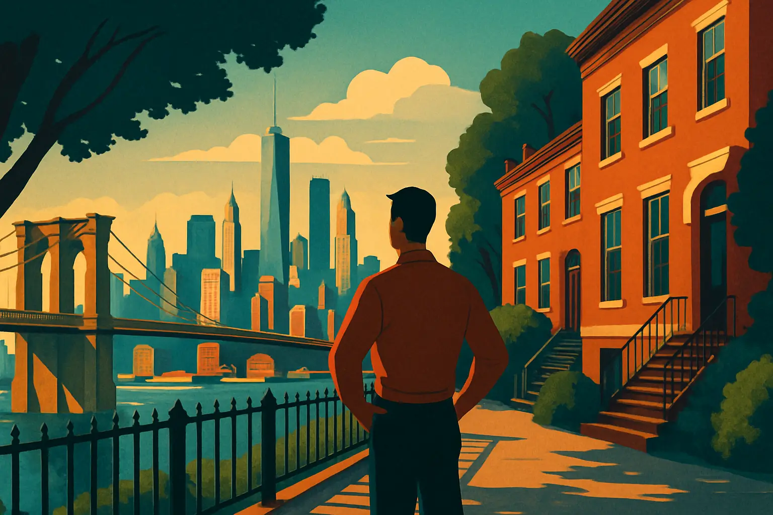
The story of Brooklyn Heights begins not with brownstones or bohemians but with military catastrophe. On August 27, 1776, British General William Howe routed Washington's Continental Army in the Battle of Brooklyn — the largest engagement of the Revolutionary War and the first major battle after the Declaration of Independence. The Americans were outflanked through Jamaica Pass and driven back to fortifications on the Heights, with their backs to the East River and no apparent escape route. Howe, expecting to finish them off the next morning, chose not to press his attack that night.
What followed became one of the most celebrated retreats in military history. Over the night of August 29–30, Washington organized a silent evacuation of approximately 9,000 soldiers across the East River to Manhattan, using every boat his men could requisition from local fishermen and maritime workers, many of them from Marblehead, Massachusetts. A providential fog settled over the river before dawn, concealing the final boats. Had Howe attacked, the Continental Army — and arguably the Revolution itself — would have been destroyed in its first summer.
The bluff where Washington positioned his remaining forces corresponds roughly to what is now Columbia Heights, the western edge of the Heights above the waterfront. A historical marker near the intersection of Middagh Street acknowledges the retreat, though it receives a fraction of the attention given to the Promenade views below it. The Old Stone House in nearby Park Slope, reconstructed at 336 Third Street, was the actual command post where Lord Stirling made a last stand to allow American troops to escape — a visit there pairs well with any Brooklyn Heights walk as essential context for understanding the full battle geography.
In 1965, New York City's Landmarks Preservation Commission — created the previous year in direct response to the demolition of the original Penn Station in 1963 — designated Brooklyn Heights as the city's first historic district. The boundary encompassed roughly 50 blocks and protected 619 buildings erected before 1860, representing the most complete collection of early 19th-century residential architecture surviving anywhere in New York.
The designation was not inevitable. Through the 1950s, Robert Moses had targeted the neighborhood for urban renewal and highway construction. The Brooklyn-Queens Expressway (BQE), which now runs below the Promenade, was originally planned to cut directly through the residential streets of the Heights. A coalition of residents, led partly by civic leaders working alongside figures like Otis Pearsall, spent years lobbying for preservation and persuading the city that the neighborhood's architectural fabric was worth protecting. The Promenade itself — that celebrated esplanade — was Moses's compromise: a triple-cantilevered structure that buried the expressway below street level and capped it with a public walkway, preserving sightlines and property values simultaneously.
What the designation actually preserved is remarkable to walk through today. Pierrepont Street, Remsen Street, and Willow Street are lined with Federal-style rowhouses from the 1820s and 1830s, Greek Revival brownstones from the 1840s, and Italianate townhouses from the 1860s — building types that coexist in a density of authentic 19th-century urbanism almost nowhere else in the country. Nos. 155, 157, and 159 Willow Street are among the finest Federal-style houses in New York; 108 Willow Street is where Truman Capote famously rented a basement apartment in the early 1960s, a fact he dramatized in his 1959 essay *A House on the Heights*. The preservation rules mean exterior alterations require Landmarks Commission approval, which has kept the streetscapes largely free of the aluminum-clad additions and modernized facades that have altered comparable neighborhoods elsewhere.
Get short, interactive stories that make each place easier to remember while you travel.
Brooklyn Heights and its adjacent streets were central to the formation of American literature in ways that have been significantly underappreciated in popular history. Walt Whitman worked as a journalist and printer in Brooklyn throughout the 1840s and early 1850s, editing the Brooklyn Daily Eagle from 1846 to 1848 at offices on Fulton Street. More consequentially, in the summer of 1855, he brought the manuscript of *Leaves of Grass* to the printing shop of James and Andrew Rome at the corner of Fulton and Cranberry Streets — a location now occupied by commercial development — and helped set the type himself for the first edition. The book was published on July 4, 1855. Whitman was living at the time with his family on Ryerson Street in nearby Clinton Hill, but the Heights and its waterfront were the landscape that shaped his sense of New York's teeming democratic energy. His poem "Crossing Brooklyn Ferry" (1856) is a direct meditation on the East River crossing that Whitman made repeatedly, and its imagery of crowds, water, and the continuity of human experience reads differently when you stand at the Promenade and look at the same river view.
Norman Mailer lived at 142 Columbia Heights for many years and could see the Statue of Liberty and the harbor from his home. Arthur Miller wrote parts of *Death of a Salesman* while living in the neighborhood. Thomas Wolfe, Carson McCullers, and W.H. Auden all lived within the boundaries of what would become the historic district during various points in the 1940s. McCullers and Auden were part of a remarkable communal household at 7 Middagh Street — demolished in 1945 for the BQE approach ramps — that at various moments also housed Benjamin Britten, Gypsy Rose Lee, and Richard Wright. The building has been called the most remarkable literary address in American history, which is a large claim, but the roster of residents makes it difficult to argue with.
No institution defined the moral character of 19th-century Brooklyn Heights more powerfully than Plymouth Church of the Pilgrims, still standing at 75 Orange Street between Henry and Hicks Streets. Henry Ward Beecher — brother of Harriet Beecher Stowe, who dedicated *Uncle Tom's Cabin* to him — served as pastor here from 1847 until his death in 1887, and transformed the congregation into the most prominent antislavery pulpit in the United States.
Beecher's theatrical sermons drew crowds from Manhattan and beyond; the ferries that brought Sunday worshippers across the East River were nicknamed "Beecher's Boats." His approach to abolition was deliberately visceral: he staged mock slave auctions from the pulpit, raising money from the congregation to purchase and free enslaved individuals brought north for the purpose. Abraham Lincoln attended a Sunday service at Plymouth Church in February 1860, just days before delivering the Cooper Union Address in Manhattan — the speech that effectively launched his presidential campaign. A bronze statue of Beecher stands in the church garden; a fragment of Plymouth Rock is embedded in the church wall.
The church also served as a stop on the Underground Railroad, with the building's basement used to shelter freedom seekers moving through New York. Beecher's role in funding armed antislavery settlers in Kansas — the weapons were called "Beecher's Bibles" — made him a national figure whose influence extended far beyond his congregation. Plymouth Church is open for self-guided tours on weekdays from 10 a.m. to 4 p.m. and on Sundays after the 11 a.m. service. Admission is free, though donations are welcomed. The sanctuary has exceptional wooden pews arranged in a curved gallery format and is largely unchanged from Beecher's era — an extraordinary piece of intact American religious history that most Brooklyn tourists walk past without entering.
The Brooklyn Heights Promenade — officially the Brooklyn Heights Esplanade — runs for roughly a third of a mile along the western edge of the Heights between Cranberry Street to the north and Remsen Street to the south. Its most famous feature is the view: lower Manhattan, the Brooklyn Bridge, the Manhattan Bridge, the harbor, and on clear days the Verrazzano-Narrows Bridge to the south. On the list of urban vantage points in the United States, it is genuinely exceptional — a visual summary of New York that photographs reproduce constantly but that rewards direct experience in ways photographs cannot.
What most visitors do not realize is that they are walking on a structure. The Promenade is built over three stacked levels: the upper deck is the walkway itself; below it runs the BQE; below that is a service road. The entire assembly is cantilevered from the Heights bluff — an engineering solution that Robert Moses developed after community opposition to a surface highway proved insurmountable. The construction, completed in 1954, destroyed several streets' worth of historic buildings on the western edge of the Heights but preserved the neighborhood's residential fabric by keeping the highway out of sight and largely out of earshot.
The New York City Department of Transportation completed a major study around 2020 recommending reconstruction of the deteriorating BQE section beneath the Promenade — a project that briefly threatened to close the esplanade during construction. As of 2026, the city has pursued a phased rehabilitation approach rather than full replacement, meaning the Promenade remains open but sections of the railing and surface are periodically under repair. Check NYC DOT updates before visiting if unobstructed access is essential to your plans.
The benches along the Promenade face west toward the Manhattan skyline. The best unobstructed views are from the northern third of the walkway, near the Pierrepont Street entrance, where the Brooklyn Bridge aligns most dramatically with the lower Manhattan towers behind it.
Brooklyn Heights has historically been quieter on the restaurant front than neighboring DUMBO or Cobble Hill, which has worked in its favor — the places that survive here tend to have genuine neighborhood loyalty rather than tourist dependence.
Montague Street is the main commercial corridor, running east-west from the Promenade toward Court Street. It is useful for logistics — there are coffee shops, a pharmacy, a hardware store — but it is not where the most interesting food is.
For coffee, Vineapple Café at 7 Pineapple Street is a neighborhood staple with strong espresso drinks and a small, warm interior that fills with stroller-pushing parents and remote workers by mid-morning. Iris Café at 20 Columbia Place, closer to the waterfront edge, has a quieter atmosphere and good pastries.
For dinner, Henry's End at 44 Henry Street has been operating since 1973 and runs an annual Wild Game Festival in fall featuring venison, bison, and wild boar dishes — a menu unlike anything else in the immediate area. Dinner for two without wine runs approximately $80–$110. Gage & Tollner, technically just outside the Heights at 372 Fulton Street in Downtown Brooklyn, is worth the short walk: the 1879 dining room was meticulously restored and reopened in 2021, and the oysters and dry-aged beef anchor one of the most historically significant restaurant spaces in New York.
For a drink, The Long Island Bar at 110 Atlantic Avenue — again just over the border into Cobble Hill — is a restored 1951 cocktail bar with excellent martinis and the kind of neighborhood regulars who have been sitting at the same stools for decades. Brooklyn Heights itself has limited dedicated bar culture, which is part of what makes it feel like a genuine residential enclave rather than a destination neighborhood.
Vineapple Café — 7 Pineapple Street; espresso drinks from $4.50; open Mon–Fri 7 a.m.–6 p.m., Sat–Sun 8 a.m.–5 p.m.
Iris Café — 20 Columbia Place; pastries and coffee; open daily 7:30 a.m.–5 p.m.
Henry's End — 44 Henry Street; dinner Tue–Sun from 5:30 p.m.; entrées $28–$42
Gage & Tollner — 372 Fulton Street, Downtown Brooklyn; dinner Wed–Sun from 5 p.m.; reservations strongly recommended
The Long Island Bar — 110 Atlantic Avenue, Cobble Hill; open daily 5 p.m.–2 a.m.
Brooklyn Heights is served by three subway lines converging at Borough Hall station (2, 3, 4, 5 trains) and the Clark Street station (2, 3 trains), which deposits you directly in the heart of the Heights. From Manhattan, the Clark Street stop is one of the most useful in Brooklyn — you exit at street level on Henry Street, already surrounded by historic brownstones. The walk from Borough Hall to the Promenade takes about 12 minutes.
A thorough visit to Brooklyn Heights, including the Promenade, Plymouth Church, a browse through the residential streets, and lunch, takes three to four hours. Combined with DUMBO and Brooklyn Bridge Park, budget a full day.
Start at Clark Street station (2/3 train) and walk west on Clark Street to Columbia Heights — this puts you at the Promenade's northern entrance with minimal detour
Walk the full length of the Promenade south to Remsen Street before doubling back — the southern end is quieter and has better harbor views
Turn east on Pierrepont Street and walk one block to the corner of Pierrepont and Willow to see the Federal-style rowhouses at their most concentrated
Continue to Plymouth Church on Orange Street — allow 30–45 minutes for a self-guided interior visit
Walk south on Henry Street toward Atlantic Avenue for lunch or coffee options
Descend to DUMBO via the stairs at Furman Street and Columbia Heights for Brooklyn Bridge Park access
Plymouth Church tours: Mon–Fri 10 a.m.–4 p.m., Sun after 11 a.m. service; free admission
Best months to visit: April–June and September–October for mild temperatures and clear skies; July–August is hot and crowded on weekends
The Brooklyn Historical Society (128 Pierrepont Street) has exhibitions on neighborhood history and an excellent research library; check hours at brooklynhistory.org before visiting as programming schedules shift seasonally