The South End is not South Boston. This confusion costs visitors real time and real frustration — the two neighborhoods are a mile apart, historically unrelated, and completely different in character. South Boston (universally called 'Southie') is a largely Irish-American waterfront neighborhood east of downtown. The South End is the Victorian district south of Back Bay and north of Roxbury, bounded roughly by Columbus Avenue to the northwest, Massachusetts Avenue to the south, and Harrison Avenue to the east.
The South End sits on land that did not exist before 1850. Like the Back Bay and Beacon Hill's lower slopes, the neighborhood was built on filled tidal flats — specifically the former South Bay, which ran inland from the harbor. The city began filling it in the 1840s, and construction of the row houses proceeded from north to south through the 1870s. By the time the last streets were finished, the neighborhood covered about 300 acres of former mud flat, making it one of the largest 19th-century residential construction projects in American history.
Today, it is the place in Boston where a 2:00 a.m. kitchen at the Franklin Café exists three doors from a 19th-century church, a Spanish tapas bar operates two blocks from a Victorian park square planted with elms, and a SoWa gallery First Friday ends with the entire crowd filtering into restaurants on Tremont Street. It is a neighborhood that learned to be interesting long after its original tenants left.
The South End's street plan was borrowed directly from London. When Boston's city surveyor Robert H. Gould designed the neighborhood in the 1840s, he modeled it on Bloomsbury and Belgravia — the idea was a grid of residential streets broken at regular intervals by private park squares, each ringed by terraced row houses. The wealthiest families would take the houses facing the square. The streets behind them would be slightly less grand.
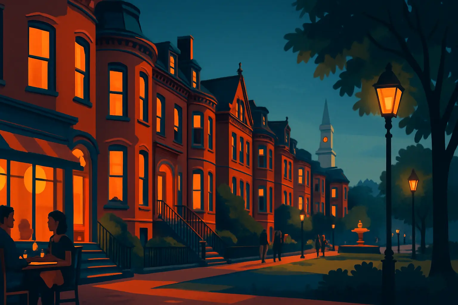
Nine park squares were built into the original plan and most survive. Union Park (between Tremont Street and Shawmut Avenue) is the best preserved — a narrow rectangular green lined with original 1850s brownstone row houses, iron fencing, and gas lamp posts. The symmetry is intact. Rutland Square (between Columbus and Tremont) is smaller and quieter. Worcester Square (Washington Street) has a central fountain. Blackstone Square and Franklin Square are the largest, designed as a pair on Washington Street — Franklin Square's central lawn is where the Franklin Square House, a Victorian hotel converted to senior affordable housing, faces the park.
The wrought-iron fences around several squares are original 19th-century ironwork. The gas lamps throughout the neighborhood are still gas, not electric reproductions — Boston Gas maintains the original lamp system in the South End and Beacon Hill. Walking Union Park on a September evening, with the lamps lit and the 1850s row houses unchanged on both sides, is about as close as Boston gets to time travel.
Get short, interactive stories that make each place easier to remember while you travel.
The South End was built for Boston's wealthy families, and it failed in that purpose almost immediately. The problem was timing: construction ran from 1850 through the 1870s, and the Back Bay landfill project started in 1857 and accelerated through the same decades. As the Back Bay's grander streets filled with newer, more fashionable row houses, the wealthy moved there and left the South End to boarding house operators.
By the 1880s, the neighborhood had transitioned to working-class immigrants — Irish, Eastern European Jews, Lebanese, Chinese — who subdivided the original single-family row houses into rooming houses and apartments. The South End became one of Boston's densest and most diverse districts, home to missions, settlement houses, and Syrian grocery stores on Washington Street.
Mid-20th century urban renewal threatened to demolish large portions of the neighborhood. The city planned clearance of so-called 'slum' blocks. In April 1968, community activists occupied a surface parking lot at the corner of Dartmouth Street and Columbus Avenue — the site of a recently demolished affordable housing block — and set up a tent city to protest the displacement of low-income residents. They stayed for two weeks. The occupation did not stop gentrification, but it created enough political pressure that the city eventually committed to building affordable units on the site. Tent City — now a 269-unit affordable housing development at 130 Dartmouth Street, completed in 1988 — still stands and still operates, a direct result of that occupation.
In the 1970s and 1980s, LGBTQ+ residents and artists moved in for cheap rents, establishing the community character that persists. The neighborhood has gentrified substantially since 2000, but the mix of Victorian architecture, old-community institutions, LGBTQ+ businesses, and a serious restaurant scene makes it unlike anywhere else in Boston.
SoWa stands for 'South of Washington' — the industrial blocks along Harrison Avenue and Thayer Street south of East Berkeley Street that transitioned from warehouses to galleries and artist studios beginning in the 1990s. The anchor is the SoWa Artists Guild at 450 Harrison Avenue, a former factory building now housing 30-plus artist studios and several galleries on multiple floors.
SoWa First Fridays happen on the first Friday of every month, year-round. Starting around 5 or 6 p.m., studios and galleries in the 450 Harrison Ave building and surrounding spaces open their doors, food trucks line the street outside, and the crowd builds until close to 10 p.m. Entry is free. The September 5 edition — today — is a good entry point for the fall season, when the summer tourist crowds have thinned and the local gallery crowd comes out.
SoWa Open Market runs every Sunday from late April through late October in the open lot at 460–500 Harrison Avenue. The format is a genuine Sunday market — produce and farm goods at the back, local food vendors in the center, handmade goods and vintage dealers along the perimeter. The September Sundays are some of the best: apple cider doughnuts from local vendors have started appearing, the autumn produce (squash, late tomatoes, peppers) is the strongest of the year, and the crowds are smaller than July.
Nearby, the Forge at 540 Harrison Avenue is a craft brewery tasting room in a former industrial space — useful for ending a SoWa First Friday or Sunday market day. The Bromfield Art Gallery at 450 Harrison Ave is an artist-run cooperative founded in 1974, one of the oldest cooperative galleries in New England, and worth visiting for its consistency.
SoWa Artists Guild: 450 Harrison Ave — studios open to walk-in visitors during First Fridays and by appointment
SoWa Open Market: 460–500 Harrison Ave, every Sunday through late October, 10 a.m.–4 p.m., free admission
First Fridays: First Friday of each month, galleries open 5–10 p.m., food trucks on Harrison Ave, free entry
The South End has the highest concentration of serious restaurants per block in New England. This is not a generalization — a single block of Tremont Street between Union Park and Braddock Park holds more acclaimed restaurants than most American cities have in their entire downtown. The scene grew from the LGBTQ+-led revitalization of the 1980s and 1990s and accelerated as chefs discovered the South End's real estate was marginally cheaper than Back Bay.
B&G Oysters (550 Tremont St, Barbara Lynch) is the restaurant most worth planning around. The room seats about 35 people at a marble-topped raw bar facing Tremont Street. Lynch sources East and West Coast oysters daily and changes the list by availability — ask the server what arrived that day. The clam chowder is correct. Reservations are limited; arrive at 5:30 p.m. at opening to walk in.
Toro (1704 Washington St) is the Spanish tapas bar from Ken Oringer and Jamie Bissonnette that launched on Washington Street in 2005 and remains one of the most consistent restaurants in Boston. The corn with aioli and cotija is the dish that made the menu famous and is still ordered at roughly every table. The pintxo morunos (pork skewers), marinated white anchovies, and bone marrow are the other anchors. No reservations for bar seats — walk in, put your name in, and have a glass of cava while you wait.
Myers + Chang (1145 Washington St, Joanne Chang and Christopher Myers) serves Asian-American comfort food — scallion pancakes, dan dan noodles, har gow dumplings, wok-fried rice — in a colorful room that runs loud on weekend nights. Brunch at Myers + Chang draws some of the best lines in the city and is worth the wait.
Coppa (253 Shawmut Ave) is the smaller, quieter companion to Toro — an enoteca-format Italian restaurant by the same team with a chalkboard menu that changes constantly. The charcuterie boards, fresh pasta, and wood-fired dishes are the order of business. The room is intimate; the noise level stays manageable.
Franklin Café (278 Shawmut Ave, est. 1998) is the neighborhood anchor that has outlasted every trend. The kitchen runs until 1:30 a.m., the burger is one of the best in Boston at $18, and the bar is built for staying rather than rushing. It is the place where the neighborhood eats on a Tuesday.
At the corner of Tremont and Clarendon streets, a domed Victorian building stands out from the surrounding row houses: the Cyclorama, built in 1884 at what is now 539 Tremont Street as part of the Boston Center for the Arts (BCA) complex.
The Cyclorama was purpose-built to display a single piece of art: a 400-foot-long, 50-foot-high circular painting of the Battle of Gettysburg, completed by French artist Paul Philippoteaux in 1884. Panoramic paintings — cycloramas — were the 19th century's equivalent of an IMAX experience. Viewers stood on a central platform and were surrounded by a continuous image; the scale and detail created a disorienting sense of presence. The Boston Cyclorama was one of several produced for American cities during the 1880s. The Gettysburg painting itself was eventually moved to Gettysburg National Military Park in 1913, where a purpose-built museum now houses it. The Boston building remained.
The 127-foot-diameter rotunda is now used as an event space for performances, exhibitions, and art fairs. The BCA complex around it includes the Calderwood Pavilion — a two-stage theater complex added in 2004 and among the best-designed mid-size theater spaces in New England — plus artist studios, rehearsal spaces, and the Beehive restaurant. The Beehive (541 Tremont St) operates as a supper club inside the BCA: live jazz on a small stage most nights, full dinner service, and a bar that stays open late. It is loud, intentionally. The food is secondary to the atmosphere, and the atmosphere delivers.
The BCA's nonprofit tenants include the SpeakEasy Stage Company, Zeitgeist Stage, and Boston Playwrights' Theatre — all of which stage productions in the Calderwood throughout the year. Checking the BCA calendar before visiting is worth doing.
How do I get to the South End from downtown Boston? The Orange Line to Back Bay station (at the corner of Dartmouth and Stuart streets) drops you at the neighborhood's northwest edge — Tremont Street is three blocks south. For the SoWa district specifically, the Orange Line to Tufts Medical Center puts you at Harrison Avenue and East Berkeley, a short walk north to 450 Harrison Ave.
Is the South End walkable? Extremely. The neighborhood's rectangular grid is easy to navigate, the distances are short, and the streets are designed for pedestrians. Union Park to SoWa is about a 12-minute walk. From Back Bay station to Toro on Washington Street takes about 15 minutes on foot.
How does the South End differ from Back Bay and Beacon Hill? It is the least touristed of Boston's three major 19th-century residential neighborhoods — which is precisely why the restaurant scene developed here. Back Bay is architecturally grander (brownstones on wider streets) and more commercial, with Newbury Street's retail and Boylston Street's chain restaurants. Beacon Hill is the most historically significant and the most photographed. The South End is the most lived-in — the neighborhood where Boston residents go to eat, see a play, browse a Sunday market, and walk the gas-lit squares. See our guides to Beacon Hill and the North End for the contrast.
Best time to visit in 2026? September and October. The SoWa Open Market is in its final weeks, the restaurant terraces on Tremont are still set up for outdoor seating, and Union Park's elms begin to turn. The neighborhood is at its quietest and most pleasant in September — summer tourist traffic is gone, the light softens earlier in the evening, and the first Friday brings the gallery crowd out in full force.