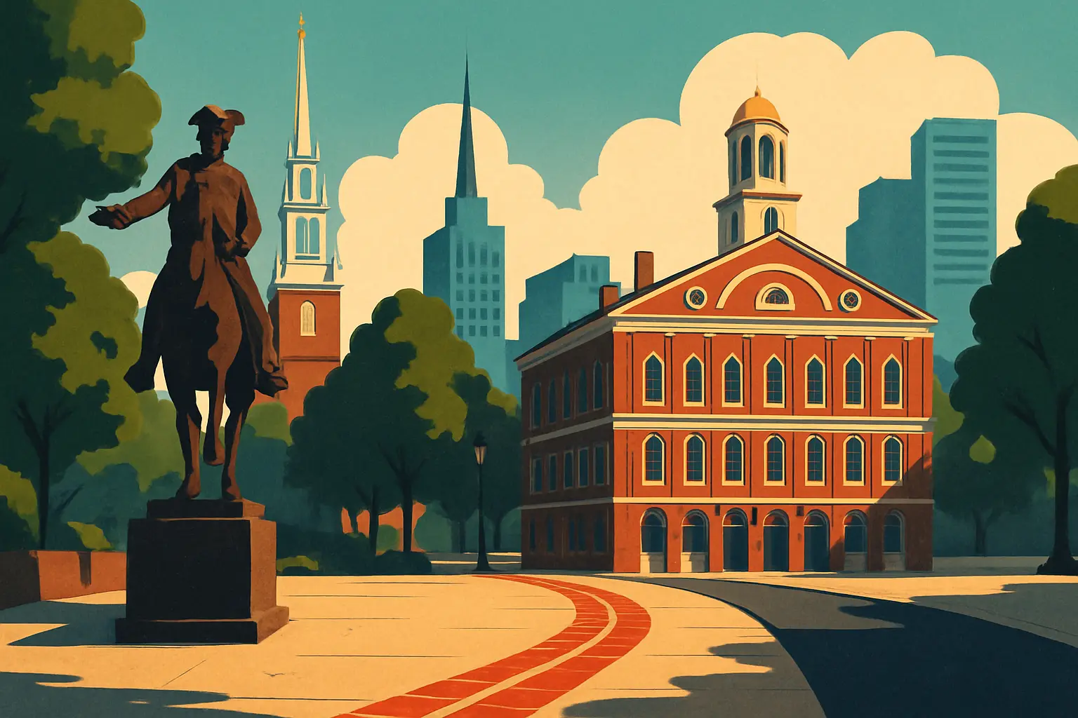
The Freedom Trail begins at Boston Common, the 50-acre park bordered by Tremont, Park, Boylston, Charles, and Beacon Streets. The closest T stops are Park Street (Green and Red Lines) or Boylston (Green Line). The Freedom Trail Foundation Visitor Center sits at 139 Tremont Street, on the Tremont Street edge of the Common — this is where you can pick up a free paper map and, if you want one, book a guided tour led by costumed interpreters ($15–$22 depending on length). The guided tours are well-researched and entertaining, but the trail is entirely walkable without one if you go in with some historical context.
The full trail is 2.5 miles of walking. Add time inside the sites and a lunch break, and you are looking at four to six hours for a complete walk. The trail ends at Bunker Hill Monument in the Charlestown neighborhood — to return to downtown, you can walk back (about one mile via the North Washington Street bridge), catch Bus 93 toward Sullivan Station, or take the MBTA Inner Harbor Ferry from the Charlestown Navy Yard water shuttle dock to Long Wharf (seasonal; check the schedule at mbta.com). The ferry takes eight minutes and costs a standard T fare.
Stop 1 — Boston Common was set aside in 1634 — two years after the first Puritan settlers arrived — making it the oldest public park in the United States. It was used as a cattle grazing ground (until 1830), a military training field, and a site for public hangings, including the execution of four Quakers in the 1650s under a law that made being a Quaker in Massachusetts Bay Colony a capital offense. The large Frog Pond at the center is a wading pool in summer and a skating rink in winter. The real starting point of the trail is the visitor center at 139 Tremont — pick up a map, then cross into the park.
Stop 2 — Massachusetts State House sits on Beacon Street at the top of the hill above the Common. The architect Charles Bulfinch designed it in 1795; it was completed in 1798. The dome was originally wood, sheathed in copper by Paul Revere (yes, that Paul Revere — he ran a hardware business). The current gold dome uses 23-karat gold leaf applied in 1874. You can enter the building for free on weekdays and walk the marble corridors lined with battle flags from every Massachusetts military unit going back to the Civil War.
Stop 3 — Park Street Church (1 Park Street) opened in 1809 and earned the nickname 'Brimstone Corner' for two reasons: the gunpowder stored in its basement during the War of 1812 and the fire-and-brimstone sermons delivered from its pulpit. William Lloyd Garrison gave his first public antislavery address here in 1829. The hymn 'My Country 'Tis of Thee' received its first public performance in this church on July 4, 1831.
Stop 4 — Granary Burying Ground (83 Tremont Street) opened in 1660 and holds over 2,300 graves on a plot no larger than a city block. Four signers of the Declaration of Independence are buried here: Samuel Adams, John Hancock, Robert Treat Paine, and (symbolically) the five victims of the Boston Massacre — Crispus Attucks, James Caldwell, Samuel Gray, Samuel Maverick, and Patrick Carr, buried in a common grave. Paul Revere is also here. The gravestones date from the 1660s through the early 1800s; the winged skulls carved into the oldest stones are colonial-era symbols of mortality, not macabre decoration. Free, open daily.
Get short, interactive stories that make each place easier to remember while you travel.
Stop 5 — King's Chapel and King's Chapel Burying Ground occupies 58 Tremont Street. The burying ground beside it (est. 1630) is the oldest in Boston — John Winthrop, the first governor of the Massachusetts Bay Colony, is buried here, as is William Dawes, who rode alongside Paul Revere on April 18, 1775. The church itself was built in 1688 as the first Anglican (Church of England) congregation in Boston — deeply unpopular in a Puritan colony. After the Revolution, with its Church of England ties an obvious political liability, the congregation voted in 1787 to become the first Unitarian church in America. The interior is the oldest continuously used church interior in the country.
Stop 6 — Benjamin Franklin Statue and Site of the First Public School marks School Street, where the Boston Latin School was founded in 1635 — one year before Harvard, which was originally established to train Boston Latin graduates for the ministry. Benjamin Franklin enrolled but was pulled out at age 10 when his father could not afford to continue paying fees. Franklin's statue (1856) is Boston's first portrait statue in a public space. The phrase 'first public school' requires a small asterisk: it was publicly sponsored but required fees, making it not entirely free.
Stop 7 — Old Corner Bookstore Building (283 Washington Street, now a Chipotle restaurant) was built in 1718 and by the 1840s housed the publisher Ticknor and Fields, which published the American editions of virtually every major literary figure of the era: Harriet Beecher Stowe, Nathaniel Hawthorne, Henry David Thoreau, Ralph Waldo Emerson, Henry Wadsworth Longfellow, and the American editions of Charles Dickens. The 'bookstore' was in fact a publishing house that made Boston the literary capital of the United States for roughly three decades.
Stop 8 — Old South Meeting House (310 Washington Street) was the largest building in colonial Boston when it was completed in 1729, and it was here that the Boston Tea Party was organized. On December 16, 1773, over 5,000 people packed into and around the building for a town meeting chaired by Samuel Adams — the largest political gathering in colonial America at the time. When negotiations with the royal governor collapsed and ships loaded with East India Company tea sat in the harbor under a deadline that would force payment of the contested tea tax, Adams reportedly rose and said: 'This meeting can do nothing more to save the country.' That signal sent roughly 116 men, some disguised as Mohawk warriors, to Griffin's Wharf, where they spent three hours dumping 342 chests of tea — 46 tons — into Boston Harbor. Admission is $8; the exhibits inside are thorough and worth the cost.
Stop 9 — Old State House (206 Washington Street) is the oldest surviving public building in Boston, completed in 1713. The lion and unicorn mounted on the facade are replicas — the originals were pulled down and burned in the street on July 18, 1776, when the Declaration of Independence was read aloud from the balcony to a crowd gathered below on King Street (now State Street). The declaration had been signed in Philadelphia thirteen days earlier; this reading was how most Bostonians first heard it. The museum inside ($15) is one of the most complete colonial-era exhibits in the city, though the exterior view of the balcony costs nothing.
Stop 10 — Boston Massacre Site is a cobblestone circle inlaid in the pavement at the intersection of State and Congress Streets, directly in front of the Old State House. On March 5, 1770, British soldiers fired into a crowd of colonists here, killing five people. The political manipulation of the event — Paul Revere's famous engraving depicting it as an organized massacre was inaccurate — helped radicalize colonial opinion against British rule. John Adams, who would become the second president, successfully defended the British soldiers in court on grounds of self-defense.
Stop 11 — Faneuil Hall (Congress Street, built 1742) was funded by Peter Faneuil, a Boston merchant who made his fortune in part through the slave trade — a biographical fact that has brought renewed attention to the 'Cradle of Liberty' label the building earned as a site of revolutionary town meetings. Samuel Adams and James Otis Jr. used the hall's second-floor meeting room to organize opposition to British taxation. The building has been continuously used as a public market on its ground floor since 1742; the grasshopper weathervane on the cupola (a replica — the original 1742 brass grasshopper is preserved inside) is one of Boston's most recognizable landmarks and was used for decades as a test: anyone who could not identify 'the grasshopper on Faneuil Hall' was presumed not to be a true Bostonian. Free to enter.
The trail crosses into the North End — Boston's Italian neighborhood and its oldest residential district — for three of its most compelling stops. This stretch is also the best place to take a lunch break; Hanover Street and Salem Street are lined with Italian restaurants, bakeries, and cafes. Mike's Pastry (300 Hanover Street) and Modern Pastry (257 Hanover Street) are the two famous rival cannoli shops — the debate between them is a Boston institution.
Stop 12 — Paul Revere House (19 North Square) was built around 1680, making it the oldest surviving structure in downtown Boston. Paul Revere bought it in 1770 and lived here with his family until 1800. On the evening of April 18, 1775, Revere left from here — not on horseback initially but by rowboat, crossing the Charles River — to warn Samuel Adams and John Hancock in Lexington that British troops were marching. He was captured by a British patrol before reaching Concord; William Dawes and Samuel Prescott completed the alarm. The house retains original flooring, structural beams, and furnishings from the Revere period. $6 admission; genuinely the most intimate and specific site on the entire trail.
Stop 13 — Old North Church (Christ Church in the City of Boston) (193 Salem Street) is the oldest surviving church building in Boston, completed in 1723. On the night of April 18, 1775, church sexton Robert Newman climbed the steeple and hung two lanterns — the signal that British troops were moving 'by sea' (across the Charles River) rather than 'by land' (through the Neck). The steeple has been rebuilt four times after hurricane damage; the current one dates to 1954. Beneath the church's floor are 37 crypts containing over 1,100 bodies — the crypt tour ($8) is genuinely eerie and historically fascinating. The pew boxes visible in the interior were purchased by wealthy families who enclosed and sometimes heated their own seating in the colonial era; the higher the pew number, the lower the social standing of its occupants.
Stop 14 — Copp's Hill Burying Ground (Hull Street) was established in 1659 and holds over 10,000 graves, including a section called 'New Guinea' containing the graves of some of Boston's free Black community from the colonial era — a reminder that Black Boston predates the Revolution. From the hill, British artillery officers directed cannon fire at Charlestown during the Battle of Bunker Hill on June 17, 1775. The grave of Daniel Malcolm, a colonial merchant and smuggler, is pocked with bullet holes — British soldiers stationed here used it for target practice as a deliberate insult after his death. Free, open daily.
The trail crosses the Charlestown Bridge and enters the Charlestown Navy Yard for its penultimate stop.
Stop 15 — USS Constitution (Building 22, Charlestown Navy Yard) was launched in 1797 and commissioned in 1798, making her the oldest commissioned warship still afloat in the world — technically still active in the United States Navy. She earned the nickname 'Old Ironsides' during the War of 1812 when British cannonballs reportedly bounced off her hull; the hull is not iron but white oak planking 21 inches thick at the waterline. The ship fought 33 naval engagements and was never captured. The tour of the deck, gun decks, and below-decks is free (bring photo ID; non-US citizens should check current entry requirements on the Navy's website). The USS Constitution Museum in the adjacent building charges $10–18 admission and contains the ship's full history in a well-designed permanent exhibition — worth the time if you have it.
Stop 16 — Bunker Hill Monument (Monument Square, Charlestown) is a 221-foot granite obelisk completed in 1843, 68 years after the battle it commemorates. The battle itself — fought June 17, 1775, just two months after the opening shots of the Revolution at Lexington and Concord — was technically a British victory: the colonial militia was forced to retreat after running low on ammunition. But the colonists inflicted casualties of over 1,000 (nearly half the British force engaged) and demonstrated they could hold disciplined defensive positions against professional soldiers. The monument stands on Breed's Hill, where most of the fighting actually occurred; Bunker Hill proper is 60 yards to the north. The 294-step climb to the top is free, unassisted, and rewards you with a 360-degree view of Boston Harbor, downtown, and the harbor islands. There is no elevator.
How long: Budget four to six hours for the complete trail if you stop at most sites. A brisk walk with brief pauses at each exterior takes about two hours; spending 20–30 minutes inside three or four sites adds two more hours. The Paul Revere House and Old South Meeting House each deserve at least 30 minutes; Old North Church, 20 minutes; Bunker Hill, 45 minutes if you climb to the top.
Is it worth it: The Freedom Trail is worth doing once, done right. The mistake most visitors make is treating it as a checkbox walk — photographing each site marker without reading the context. The burying grounds (Granary and Copp's Hill especially) are the most underrated stops on the route; standing in front of the actual grave of Samuel Adams or the Boston Massacre victims is more affecting than any exhibit. The Old South Meeting House's exhibit on the Tea Party is the best single-site interpretation on the trail.
Best time to go: September and October are the best months — summer heat and humidity are gone, crowd levels drop noticeably after Labor Day, and the light is ideal for walking. The trail is open year-round and most sites operate through winter, though hours shorten.
Can you skip any stops: The Old Corner Bookstore (now a Chipotle) offers nothing inside. The Benjamin Franklin site is a statue on a sidewalk — look at it briefly and keep moving. The Massachusetts State House is worth entering if you are there on a weekday; the exterior alone takes 90 seconds. Every other stop has something genuinely specific to see.
After the trail: If you have energy after Charlestown, the North End — which you passed through at stops 12–14 — is the logical place to end the day: dinner on Hanover Street, a cannoli, and a walk along the harborfront back toward Back Bay or Beacon Hill.