1. Why the metro will save your trip — and your wallet
An Uber from Centro Histórico to Polanco costs 80 to 200 pesos depending on traffic and time of day — and Mexico City traffic can turn a 6-kilometer trip into a 45-minute ordeal. The metro makes the equivalent journey (Zócalo station to Polanco station, with one transfer at Hidalgo) in about 25 minutes for 5 pesos regardless of what is happening on the streets above. The math holds across the city: almost every neighborhood a tourist visits is within walking distance of a metro station, and the flat fare means a cross-city trip from Coyoacán in the south to the Zócalo in the center costs exactly the same as a one-stop ride. The system carries approximately 4 million passengers daily across 12 lines and 195 stations — it is one of the most-used metro systems in the world, ahead of systems in London and Madrid in daily ridership. Skipping it entirely to take Ubers means spending dramatically more money, sitting in more traffic, and missing one of the most specifically Mexico City experiences available.
•5-peso flat fare vs 80–200 pesos for Uber on the same cross-city routes
•12 lines, 195 stations — virtually every major tourist attraction in CDMX is within walking distance of a station
•4 million daily riders, making it one of the busiest metro systems in the world
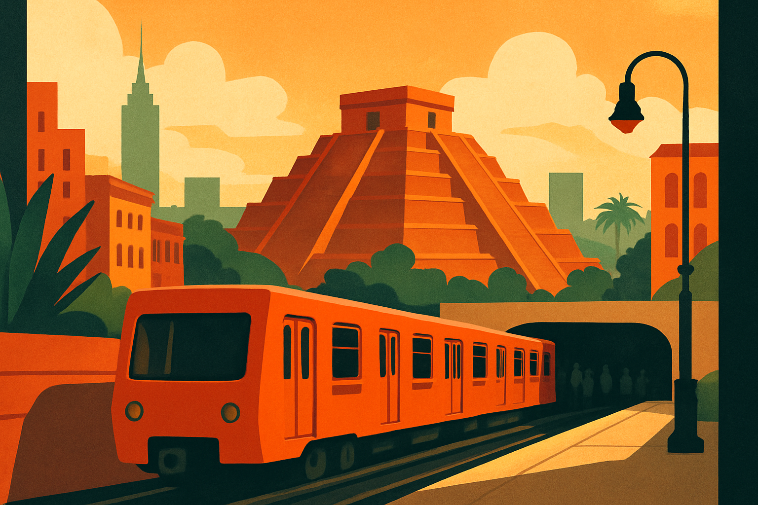
2. The 1969 design that still guides 4 million daily riders
When the Mexico City Metro opened on September 4, 1969, it faced a navigation problem no major metro system had seriously addressed: Mexico's illiteracy rate at the time meant that roughly one-third of the population could not read signs well enough to navigate a conventional text-based transit system. The solution came from a 29-year-old American graphic designer named Lance Wyman, who had spent the previous four years in Mexico City creating the visual identity for the 1968 Summer Olympics alongside architect Pedro Ramírez Vázquez. For the metro, Wyman and his collaborators built a system where each station received a unique pictographic icon derived from local history, geography, or culture. The icon for Chapultepec station is a grasshopper — chapul is the Nahuatl word for grasshopper, and the hill was a royal retreat for Aztec rulers. Bellas Artes station uses the silhouette of the Palacio de Bellas Artes dome. Pino Suárez shows the circular Aztec wind pyramid discovered during the station's construction. Balderas is represented by a flintlock pistol, referencing the 1913 military coup known as the Decena Trágica that unfolded nearby. The system Wyman created was the first metro network in the world to assign a unique visual logo to every station — and all 195 icons remain in use today, unchanged in logic if not always in execution. If you find yourself navigating without Spanish, the icons are your guide.
•Lance Wyman designed the station icons in 1969 — the same designer behind the 1968 Mexico City Olympics visual identity
•Icons were functional from day one: one-third of Mexico's population couldn't read when the metro opened
•First metro in the world to give every station its own unique pictographic logo — a system still in use 55 years later
3. The Aztec pyramid inside Pino Suárez station
In 1967, workers excavating what would become the transfer passage between Line 1 and Line 2 at Pino Suárez, in the heart of Centro Histórico, uncovered a circular stone structure: a small pyramid dedicated to Ehécatl, the Aztec god of wind. The discovery put the structure directly in the path of the planned station. Rather than remove it, engineers redesigned the station around the pyramid. Today it sits inside the transfer zone at Pino Suárez, visible from the platform as you walk between lines — a circular stepped platform approximately 6 meters in diameter and 4 meters tall, partially enclosed in glass, fully intact. The Instituto Nacional de Antropología e Historia (INAH) calls it the smallest archaeological site in Mexico. Ehécatl was the god of wind in the Aztec pantheon, and his temples were characteristically circular rather than rectangular — the round shape reduced wind resistance, which was theologically appropriate. This is also why the Pino Suárez station icon is a circular stepped pyramid: the pictogram is showing you exactly what is inside the station. You are standing in a metro station that was built around a 500-year-old religious structure discovered during its own construction. This takes about 90 seconds out of a transfer to look at properly — it is worth the 90 seconds.
•Discovered in 1967 during construction — engineers redesigned the station around it rather than remove it
•Dedicated to Ehécatl, Aztec god of wind — his temples were circular by design, which is why this one looks different from Teotihuacán's pyramids
•INAH designates it the smallest archaeological site in Mexico; it sits in the Line 1/Line 2 transfer zone at Pino Suárez
4. How to use it: fares, cards, hours, and apps
The fare is 5 pesos per ride, flat rate, any distance on any line. You pay with a single-use cardboard token (boleto) or a rechargeable smart card called the Tarjeta de Movilidad Integrada — the card costs 16 MXN to purchase at any station window, which includes the card itself plus your first ride. The smart card is worth it for any stay longer than one day. The same card works on the metro and on the Metrobús (Bus Rapid Transit) system, which runs on dedicated lanes along major avenues including Insurgentes and Reforma. Metro hours are approximately 5 a.m. to midnight on weekdays, with slightly reduced windows on weekends (roughly 6 a.m. to midnight on Saturdays, 7 a.m. to midnight on Sundays). Google Maps provides accurate metro routing in real time — enter your destination, select transit, and follow it. The app calculates transfer walking time, which at large hubs like Hidalgo and Pantitlán can add 8–10 minutes. Most older metro cars are not air conditioned. Line 12, the most recently extended line, runs modern climate-controlled trains. In summer (May through October), morning and evening rides on packed older cars are warm.
•5-peso flat fare — buy the rechargeable Tarjeta de Movilidad Integrada (16 MXN) at any station window for stays longer than a day
•Google Maps works accurately for metro routing including transfers — no special app needed
•Hours: ~5 a.m.–midnight weekdays; most cars are not air conditioned — factor this in during May–October heat
5. The lines tourists actually use — and why
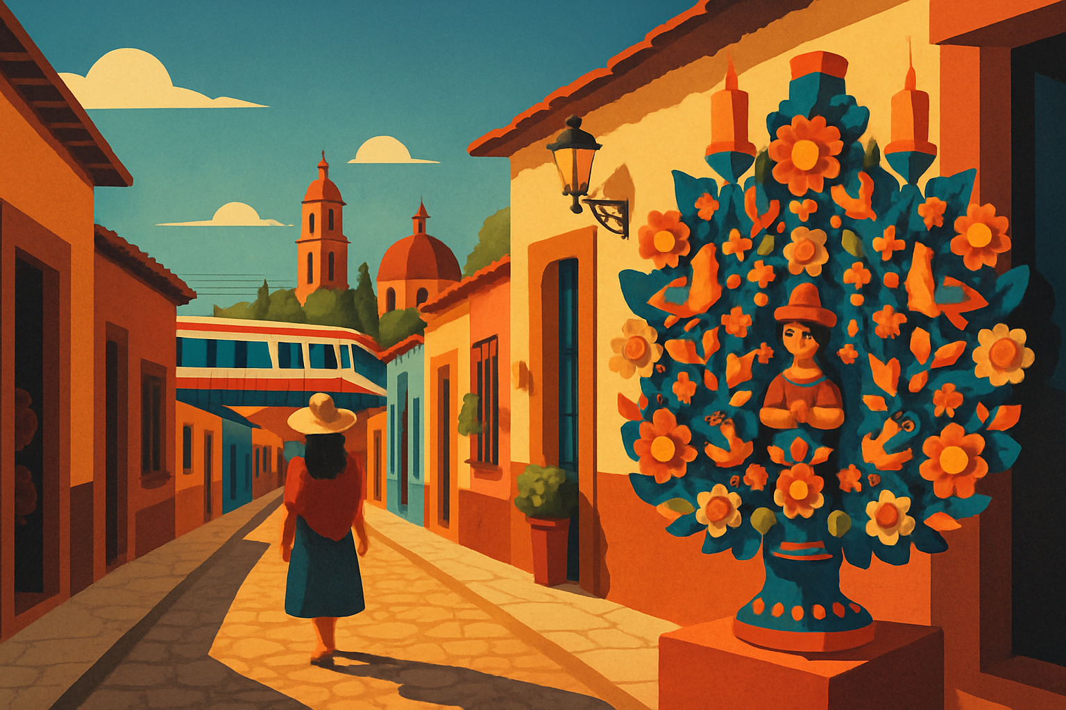
Twelve lines sound daunting, but most visitor itineraries run through four of them. Line 1 (pink, east-west) is the backbone of the tourist network: it runs from Observatorio in the west through Chapultepec, Insurgentes (nearest station to Roma Norte and Condesa — then a 10-minute walk), Balderas, and Pino Suárez. This single line covers the Chapultepec park entrance, the Reforma-Insurgentes corridor, and the edge of Centro Histórico. Line 2 (blue) runs roughly east-west through the north of Centro: Bellas Artes station puts you steps from the Palacio de Bellas Artes and one block from the Alameda; Zócalo station (officially Zócalo/Catedral) deposits you at the southeast corner of the main plaza. Line 3 (olive green, north-south) is the line for Coyoacán — exit at Copilco and walk 15 minutes south through residential streets, or at Viveros to enter from the north. Line 7 (orange, north-south) serves Polanco: exit at Polanco station and you are at the eastern end of Presidente Masaryk. For most tourist itineraries covering the central neighborhoods, these four lines form a complete grid. Lines 8, 9, and 12 are useful for specific destinations in the south and southeast of the city.
•Line 1 (pink): Chapultepec → Insurgentes (Roma Norte/Condesa) → Pino Suárez (Centro) — the single most useful line for tourists
•Line 2 (blue): Bellas Artes → Zócalo/Catedral — essential for Centro Histórico
•Lines 3 (Coyoacán via Copilco) and 7 (Polanco) complete the core tourist network
6. Safety, rush hour, and the women-only car
The metro is safe — millions of Mexico City residents use it daily, including tourists, expats, and families with children. The practical risk is pickpocketing in crowded cars during rush hour, which runs from 6 to 9 a.m. and 5 to 8 p.m. on weekdays. During these windows, trains on Lines 1 and 2 are genuinely packed. The precautions are the same ones that apply on any high-density urban metro: carry your bag in front of you, not on your back; nothing in your rear pocket; keep your phone in a zipped inner pocket rather than in your hand at platform level. The large transfer hubs — Hidalgo, Pantitlán, and Pino Suárez — see the highest foot traffic and deserve a bit more awareness, simply because of volume. The women-only cars on weekday peak hours are enforced and make a real difference: the first two cars at the front of each train, marked with pink platform signs and floor markings, are reserved for women and children from 6 to 9 a.m. and 6 to 9 p.m. Men standing in those zones during those hours will be asked to move. For women traveling solo, these cars are worth using during rush hour.
•Rush hour (6–9 a.m. and 5–8 p.m.) is when pickpocket risk peaks — bag in front, nothing in back pockets
•Women-only cars: first two at the front of each train, enforced weekday peak hours — look for pink platform markings
•Large transfer hubs (Hidalgo, Pantitlán, Pino Suárez) are busiest — move with confidence and keep bags secured
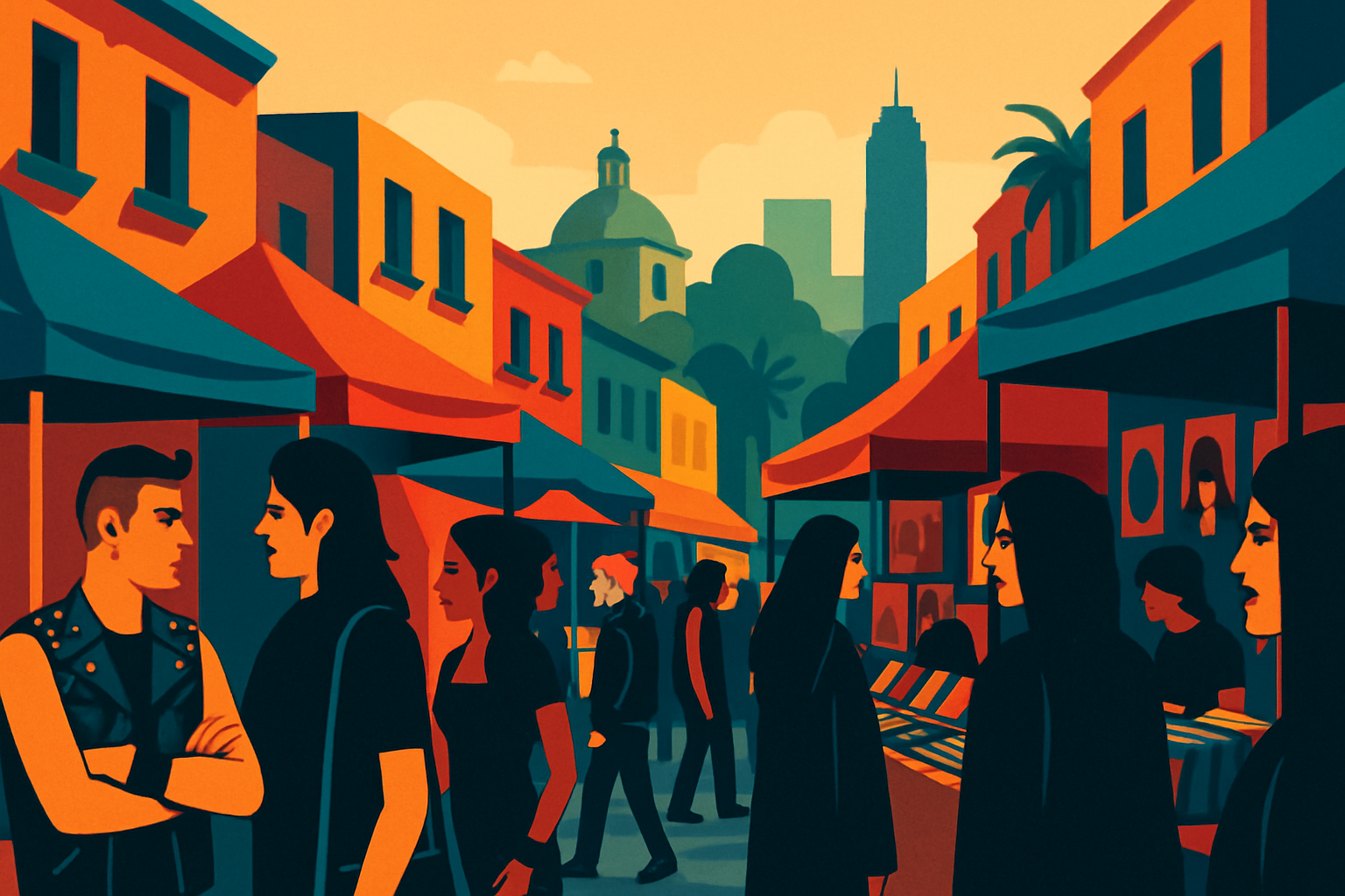
7. The metro as a cultural experience
A metro ride in Mexico City is not just transit — it is 20 minutes inside the cross-section of one of the world's largest cities. The vendors who board at each stop selling phone chargers, tamales, screen protectors, and pirated books are a specific and persistent institution. The musicians who board with a wireless speaker and play one song per car before moving to the next are another. At Insurgentes station on Line 1, the central concourse is covered in a long tile mosaic depicting the history of the Insurgentes corridor — it runs the full length of the passage and is easy to walk past without registering what it is. Bellas Artes station (Lines 2 and 8) functions as an informal gallery space, with rotating art installations in the connecting passageways between lines. The real thing to notice, though, is the system itself: the station icons Wyman designed in 1969 are still the way a city of 22 million people tells itself where it is. A flat 5-peso ticket, valid for any distance, has moved working-class Mexico City through its own geography for 55 years. That is a specific and observable fact about how a city works.
•Insurgentes station (Line 1): a long mosaic mural covers the central concourse — easy to miss, worth slowing down for
•Bellas Artes station (Lines 2 and 8): rotating art installations in the connecting passages between lines
•In-car vendors and musicians are part of the metro ecosystem — each stop brings new ones through the cars
8. Practical FAQ: airports, luggage, and the Metrobús
Does the metro go to the airport? Mexico City now has two main airports. The Benito Juárez International Airport (AICM) — the original airport near the city center — is served by metro Line B and Line 5 via Terminal Aérea station, adjacent to Terminal 1. For Terminal 2, take the AICM's free internal connector. The newer Felipe Ángeles International Airport (AIFA), approximately 50 km north of the city, is not directly served by the metro — use the Mexibús or shuttle services. Check which airport your airline uses before planning your route. Can I bring large luggage on the metro? Technically yes, but during rush hour it's genuinely difficult and you become a target for frustration and opportunistic theft. For luggage-heavy trips between accommodations, take an Uber or DiDi for that specific journey. What is the Metrobús? It is a separate Bus Rapid Transit (BRT) system that runs on dedicated lanes on major avenues — Insurgentes, Reforma, Eje Central — and uses the same rechargeable smart card as the metro (6 pesos per ride). Metrobús Line 1 on Insurgentes runs the full length of the avenue from south to north, covering Roma Norte, the Zona Rosa, and Reforma in one continuous route. It is the fastest surface option on Insurgentes when metro Line 1 doesn't have a convenient stop for your exact destination.