1. The Oldest Building in San Francisco Is on Dolores Street
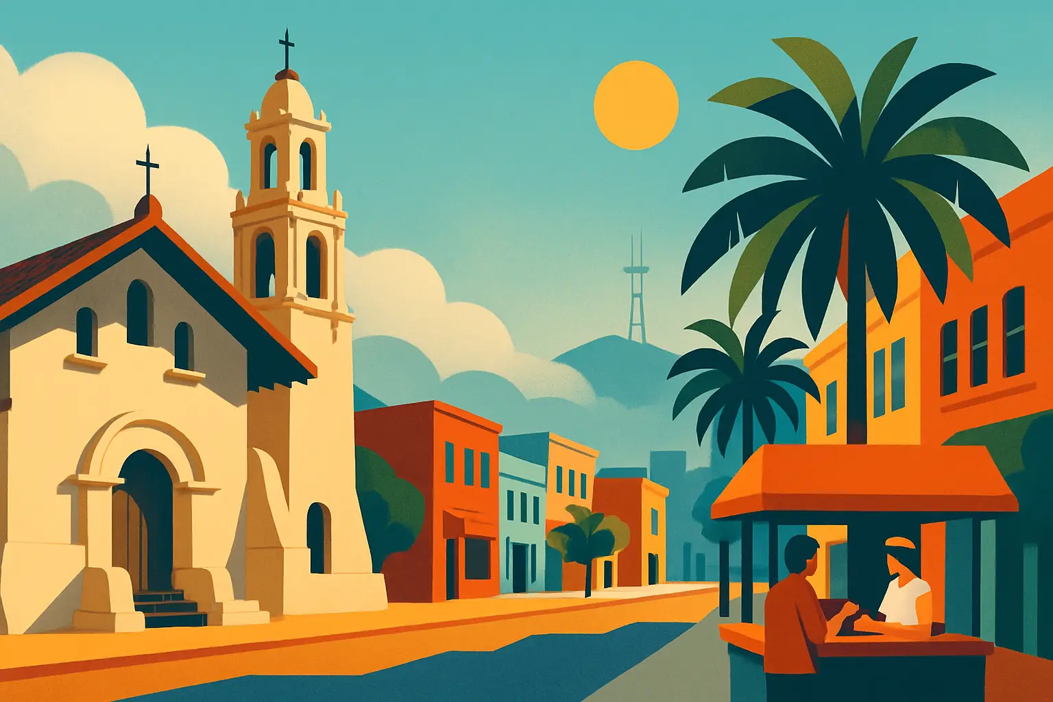
Mission Dolores — formally Misión San Francisco de Asís — was founded on June 29, 1776. The Declaration of Independence was signed on July 4th. The small adobe chapel at 3321 16th Street at Dolores predates the United States by five days and is the oldest intact building in San Francisco.
Spanish Franciscan friar Junípero Serra supervised its founding as the sixth of 21 California missions built along El Camino Real. The current chapel — constructed between 1782 and 1791 — replaced an earlier tule-reed structure. Its walls are four feet thick, made from 36,000 sun-dried adobe bricks held together with wooden pegs rather than nails. Despite every major earthquake since 1906, the chapel has never required structural reconstruction.
The adjacent cemetery is one of the only surviving burial grounds within San Francisco city limits. It holds the graves of Ohlone and Coast Miwok peoples who were baptized at the mission — an estimated 5,000 people buried in largely unmarked graves beneath the current lawn — alongside Don Luis Antonio Argüello, the first governor of Alta California under Mexican rule. The graveyard is open daily from 9 a.m. to 4 p.m. for a $9 admission that also covers the chapel and a small museum. The larger neo-baroque Basilica next door, built in 1918, is free to enter.
2. Why the Mission Gets Sun When the Rest of SF Gets Fog
San Francisco's summer fog — nicknamed Karl the Fog — arrives from the Pacific Ocean, pushed inland by the thermal gradient between cool ocean air and the hot Central Valley. It moves through the Golden Gate and fans out across the western neighborhoods: the Sunset, the Richmond, and West Portal are routinely overcast by 11 a.m. on any July or August morning.
Twin Peaks — the two hills rising to 922 feet at the geographic center of the city — act as a physical barrier. The Mission lies immediately east of Twin Peaks in their wind shadow. Fog that crests the peaks often dissipates before reaching the Mission valley below. The neighborhood's lower elevation, sitting in a basin between roughly sea level and 100 feet, helps trap daytime warmth.
The practical result: on a typical August afternoon, the Richmond District registers 57°F under overcast skies while the Mission registers 72°F in full sun. This is why Dolores Park fills wall-to-wall on summer weekends while Baker Beach empties by noon. Real estate listings in the Mission and Noe Valley explicitly advertise microclimate — 'sun-drenched' and 'fog-free' are standard descriptors in listings along the protected eastern corridor that runs from the Mission south through Noe Valley and Glen Park.
3. Valencia Street vs. Mission Street: One ZIP Code, Two Cities
Mission Street is the neighborhood's original spine — a commercial corridor running from 14th Street south past Cesar Chavez that has served as the economic center of SF's Latino community since the mid-20th century. Panaderías, taquerías, carnicerias, dollar stores, and Western Union offices line the sidewalk between 16th and 24th. Mission Street hosts the annual Carnaval San Francisco parade each May and remains the neighborhood's loudest, densest, most traditionally working-class corridor.
Valencia Street, one block west, tells a different story. As the first dot-com boom pushed artists and young professionals out of SoMa after 2000, Valencia became one of the country's most visible laboratories for a new urban form: independent bookstores (Dog Eared Books at 900 Valencia), design-conscious restaurants, natural wine bars, and concept retail. Tartine Manufactory (595 Alabama at 18th, one block off Valencia) opened in 2016 and became a destination unto itself — a full restaurant, roastery, and bakery in a converted factory space.
The tension between these two corridors became one of the most covered gentrification stories of the 2010s. In 2013 and 2014, community members organized to block Google, Apple, and Facebook shuttle buses that used Muni stops on Valencia to carry tech workers to South Bay campuses. The shuttles became a visible symbol of who the neighborhood was changing for. Community organizations including the Mission Economic Development Agency (MEDA) have since purchased dozens of Mission buildings and held them as permanently affordable housing, slowing but not stopping the displacement.
4. The Mission Burrito Was Invented Here
The Mission-style burrito is specific: a large flour tortilla, warmed on a comal, filled with rice, beans, meat, salsa, sour cream, and guacamole, then folded and wrapped so tightly in foil it becomes a structural object. It is distinct from Tex-Mex burritos (smaller, often baked with sauce) and from the Sonoran-style burritos of Arizona (thinner, simpler filling). The Mission burrito is a San Francisco invention.
La Cumbre Taqueria (515 Valencia at 16th, open since 1969) claims to have been the first restaurant to serve the foil-wrapped, rice-and-beans Mission format. El Farolito (2779 Mission at 24th, open since 1966) has a competing claim. What's clear: the format evolved in the Mission District in the 1960s among taquerías serving the neighborhood's growing Mexican and Central American population, and it became regionally distinctive enough by the 1980s to have a recognized name.
La Taqueria (2889 Mission at 24th) has won the most formal recognition — America's Test Kitchen ranked it the best burrito in the United States. The La Taqueria approach is contrarian: no rice, ever. Owner Miguel Jara has said in multiple interviews that rice is filler. The result is denser and more intensely flavored than a standard Mission burrito. The carnitas with whole pinto beans and crema is the order. El Farolito's advantage is hours — open until 3:30 a.m. on Fridays and Saturdays — and its carne asada quesadilla suiza is arguably better than its burrito. A serious Mission food visit warrants both.
•La Taqueria: 2889 Mission at 24th St — no rice, carnitas with crema, closes around 9 p.m. daily
•El Farolito: 2779 Mission at 24th St — open until 3:30 a.m. on weekends; order the quesadilla suiza
•La Cumbre: 515 Valencia at 16th St — the 1969 original, closest to the Dolores Park corridor
5. Dolores Park Was a Cemetery and an Earthquake Camp Before It Was This
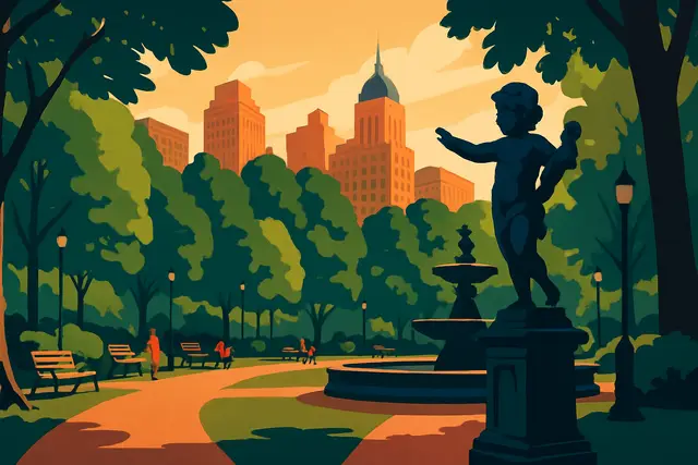
Mission Dolores Park occupies two city blocks between 18th and 20th streets, Church and Dolores. Its current identity — sunny, dense with weekend crowds, a social crossroads for the Mission and the Castro — is a relatively recent development. The park has a more eventful prior life.
From 1861 to 1894, the land was the Home of Peace Cemetery, operated by two Jewish congregations (Sherith Israel and Emanu-El). San Francisco banned new burials within city limits in 1900, and the remains were relocated to Colma — the collection of cemetery towns south of the city built specifically to hold San Francisco's dead after the ban. The city converted the land to a park.
The park's most consequential moment came on April 18, 1906. When the earthquake and subsequent fires destroyed most of San Francisco north and west of the park, Dolores Park became one of the primary refugee camps for displaced residents — an estimated 16,000 to 20,000 people sheltered here in the weeks following the disaster.
Today, the park's south-facing slope draws the biggest weekend crowds with its views of downtown. The tennis courts on the upper level are free and first-come-first-served. The historic carousel — a 1906 Herschell-Spillman model restored in 2012 — runs on weekends from 11 a.m. to 5 p.m. for $3 per ride. The J-Church Muni light rail runs along Church Street on the park's western edge, useful if you're coming from the Castro or Noe Valley.
6. Clarion Alley and Balmy Alley: Walking Through a Political Art Museum
The Mission has two open-air mural corridors that are among the most concentrated public art sites in the United States, and they are both free and accessible year-round.
Balmy Alley runs one block between 24th and 25th streets, between Harrison and Treat. Murals have appeared here since 1971, making it the oldest continuous mural site in the Mission. The current mural cycle began in 1984 with a series addressing the violence and US-backed conflicts in Central America — the families of many Mission residents were directly affected by civil wars in El Salvador, Guatemala, and Nicaragua during that decade. Precita Eyes, the community mural arts center at 2981 24th Street (founded 1977), coordinates and preserves Balmy Alley murals and offers a $20 walking tour on weekends that provides political and artistic context most self-guided visitors miss entirely.
Clarion Alley runs between 17th and 18th streets, between Mission and Valencia — a shorter block with murals covering both walls in their entirety. The Clarion Alley Mural Project formed in 1992 and treats the alley as a living gallery: murals are replaced roughly every two to three years by invited artists, so the content reflects current events rather than a fixed historical record. The Women's Building (3543 18th St at Valencia) displays MaestraPeace, a seven-story exterior mural completed in 1994 and restored in 2012 by seven women artists — the largest outdoor mural created entirely by women artists in the United States.
7. Getting to the Mission, Getting Around, and What to Know
How do I get to the Mission from downtown SF? The BART Red or Yellow Line from Powell Street or Civic Center reaches 16th Street Mission in one stop (roughly 3 minutes). The 24th Street Mission station is two stops and serves the lower Mission corridor closest to La Taqueria and Balmy Alley. Muni also runs the 14-Mission and 49 buses along Mission Street for local movement within the neighborhood.
Is the Mission District safe? The commercial blocks along Valencia Street and the area around Dolores Park are densely populated and safe during daylight and evening hours. Mission Street between 16th and 24th has higher street activity; standard urban awareness applies late at night. For most daytime visitors, it is a straightforward urban neighborhood.
How does it connect to other SF neighborhoods? The Castro borders the Mission to the west along Market Street — its LGBTQ+ history and Noe Street restaurant scene are worth an afternoon; see our Castro District guide. Haight-Ashbury is a 20-minute walk or short Muni ride northwest; our Haight-Ashbury guide covers the counterculture history behind the neighborhood.
Is Tartine worth it? Tartine Bakery (600 Guerrero at 18th) serves morning buns and country loaf from 9 a.m.; the loaves sell out by noon on weekends. Tartine Manufactory (595 Alabama at 18th) is the larger sibling — full restaurant, longer hours, easier to walk in for coffee and a pastry on a weekday morning. Both are worth visiting; neither should anchor your entire schedule at the expense of the neighborhood around them.