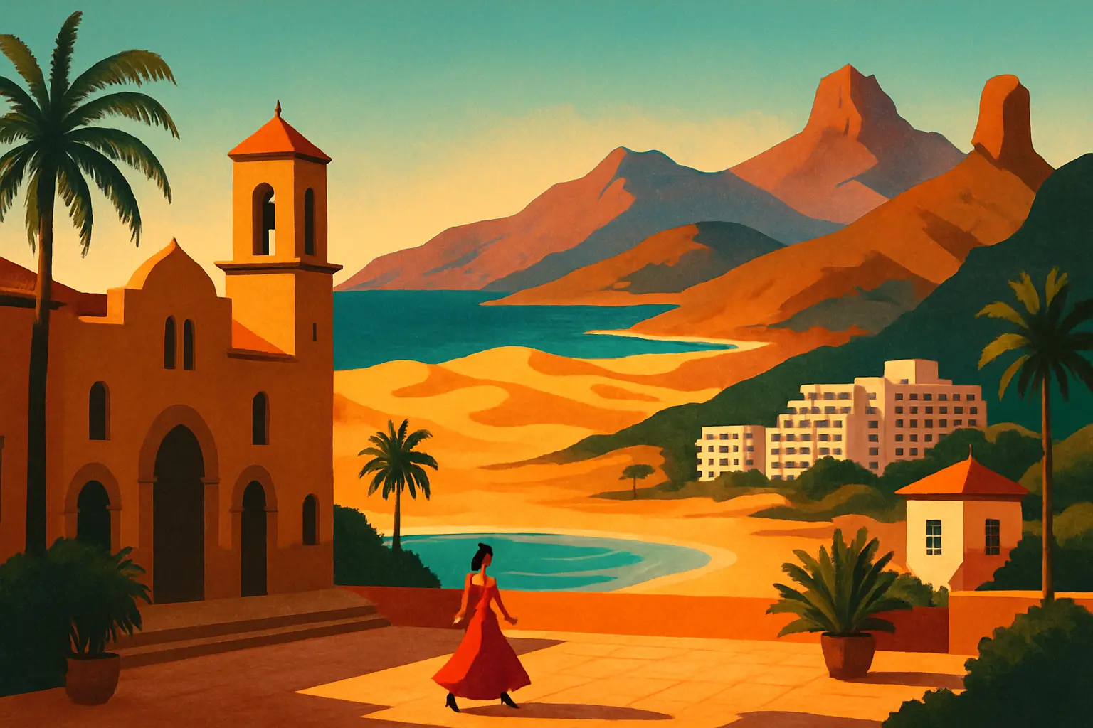
Gran Canaria is the second most populous of the eight Canary Islands and sits roughly 150 kilometers off the northwest coast of Africa — closer to Morocco than to Madrid. It is constitutionally Spanish territory (and therefore EU), which is a more surprising fact on the ground than it sounds: the climate, the vegetation, the architecture, and the light are nothing like mainland Spain.
The island is roughly circular, with a diameter of about 50 kilometers. That shape and the presence of a central mountain massif — Pico de las Nieves, the highest point at 1,949 meters — creates dramatically different microclimates depending on where you are. The southern coast receives almost no rain and is warm year-round, which is why resort development concentrated there. The north and interior are greener, cooler, and sometimes cloud-covered through autumn and winter. The mountain interior is a separate universe entirely: volcanic rock formations, pine forests, and villages like Tejeda and Artenara that look nothing like the beach resorts 40 kilometers away.
Gran Canaria is frequently compared unfavorably to its Canarian neighbors — less dramatic than Tenerife and its 3,718-meter Teide volcano, less alien than Lanzarote's lunar lava fields. This undersell is the visitor's gain. The comparison forgets that Gran Canaria has a capital city of genuine substance, the most biologically diverse landscape of any Atlantic island of its size, and a pre-European indigenous culture — the Guanches — whose material heritage is still visible in the cave architecture of the island's interior.
Las Palmas de Gran Canaria (population 378,000) is the capital of Gran Canaria and the largest city in the Canary Islands. It is not a resort city — it is a working Spanish city with a port, a university, a music scene, and real neighborhoods. Most visitors who fly through its airport never stop.
The part worth stopping for is Vegueta, the historic city center founded in 1478, making it one of the oldest continuously inhabited European-founded cities in the Atlantic basin. The Spanish Crown established Las Palmas as a staging post for Atlantic voyages before the Americas were known to Europeans; it was already a functioning colonial city by the time Columbus arrived in 1492 to resupply before the crossing.
The Casa de Colón at Calle Colón 1 occupies the palace where the island's governors lived — the same building where Columbus lodged when he stopped to repair the Pinta's rudder. The museum tracks the history of the Atlantic voyages and the role of Gran Canaria in them, but the building itself is the attraction: a 15th-century Canarian Gothic mansion with deep wooden galleries, a carved portal, and a courtyard that feels unmistakably medieval.
The Catedral de Santa Ana on Plaza de Santa Ana is harder to date than it looks — construction began in 1497 and continued in phases through the 19th century, producing a building that is Gothic at the core, Neoclassical at the façade, and Baroque in certain side chapels. The adjacent Museo Diocesano de Arte Sacro has a collection of 15th–19th century religious art that is small enough to see properly in an hour.
For food in Vegueta: Mercado de Vegueta at Calle Mendizábal operates Tuesday through Saturday morning. The fish counter is the main event — cherne (stone bass), vieja (parrotfish), and sama (red snapper) from Atlantic waters that are a different category of freshness than what reaches mainland Spanish markets. Eat at the market bar rather than taking anything to go.
Get short, interactive stories that make each place easier to remember while you travel.
The Dunas de Maspalomas at the island's southern tip are the most visited natural attraction in the Canary Islands and one of the most misunderstood. They are not a beach — they are a 400-hectare protected nature reserve of active Saharan-type dunes, a freshwater lagoon (La Charca), and a palm oasis (El Oasis) that together form an ecosystem largely unrelated to the resort development surrounding them.
How they formed: sand eroded from the island's volcanic interior was transported by rivers to the coast and then pushed by northerly trade winds into accumulating dune structures. The process is still active — the dunes migrate slowly northwest at a measurable rate each year, and their shape changes with the season. La Charca, the freshwater lagoon at the western edge of the reserve, provides a stopover point for migratory birds on the Atlantic flyway between Europe and West Africa. In September and October, you will see wading birds species that have no business being 150 kilometers off the African coast.
The resort development — Playa del Inglés to the east and Maspalomas to the west — was built in the 1960s and 1970s around and sometimes right up to the dune reserve's boundary. The tension between the two is visible at the eastern access point, where the dune reserve begins directly behind a row of hotel terraces. The lighthouse (Faro de Maspalomas, built 1890, still operating) marks the island's southernmost point and is visible across 27 nautical miles of open Atlantic.
Playa de Maspalomas at the lighthouse end of the beach is visibly different from Playa del Inglés further east — less developed, less crowded, with the dune reserve accessible directly from the sand. The 4-kilometer walk through the dunes from the lighthouse toward El Oasis and La Charca is the correct way to experience them: shoes off, moving between crests, with the Atlantic appearing and disappearing as the dune heights change.
Forty kilometers north of Maspalomas, a drive up the GC-15 road climbs from the flat resort coast into a landscape that has nothing to do with beach tourism. The central mountain massif of Gran Canaria is the most biodiverse region on any Atlantic island of comparable size — a UNESCO Biosphere Reserve since 2005 — and virtually the entire tourist infrastructure of the island ignores it.
Roque Nublo (1,813 meters) is the defining geographical symbol of Gran Canaria: a monolith of phonolitic lava 80 meters tall sitting on a plateau above Tejeda, visible from most of the island on clear days. For the Guanches — the Berber-descended indigenous inhabitants of the Canaries who lived here before Spanish conquest in 1478 — Roque Nublo was a sacred site. Excavations around the base have found ceremonial deposits suggesting it served as a place of worship and possibly sky observation. The walking trail from Degollada de la Goleta to the base of the rock is a 2.5-kilometer round trip on maintained paths; the view from the plateau covers the southern coast, the dunes, and on clear days Tenerife with Teide on the horizon.
Tejeda is the village directly below, sitting at 1,050 meters in the caldera of an ancient volcano. Its specialty is bienmesabe — a sweet paste of ground almonds, honey, eggs, and lemon that is sold in pottery jars from every shop on the main street and tastes like nothing on the mainland. The almond trees on the caldera slopes bloom in January and February, turning the landscape briefly white against the volcanic rock — a detail that sells considerably more visits to the interior than any other single thing.
Artenara, 15 kilometers west of Tejeda, is the highest village in Gran Canaria (1,270 meters). Its defining characteristic is that a significant portion of its population still lives in cave houses — chambers excavated directly into the volcanic rock of the hillside, with whitewashed facades and normal front doors that give no hint of what continues behind them into the mountain. The church, the bar, and the village's mirador (lookout) are all built into or around rock faces. From the mirador, the view toward Roque Nublo across the caldera is the single best landscape image on the island.
Canarian cuisine shares a language with Spanish food but not a great deal else. The island's food culture was shaped by three distinct forces: Guanche indigenous staples (gofio, the island's livestock), the Atlantic trading position (spices, techniques, and produce from Africa and the Americas passing through Las Palmas for 500 years), and the volcanic soil that produces agricultural products found nowhere else in Spain.
Papas arrugadas (wrinkled potatoes) are the entry point. Small Canarian potatoes — varieties like Papa bonita, grown in volcanic soil at elevation — are boiled in heavily salted water until the skin wrinkles and a salt crust forms. They are served with mojo rojo (red: dried chili, cumin, garlic, vinegar) and mojo verde (green: coriander, garlic, olive oil). The two mojos are not condiments you add at the table — they are structural parts of the dish, and the quality difference between a restaurant that makes them properly and one that serves them from a jar is immediately apparent.
Gofio is roasted grain flour — typically wheat or corn — that was the dietary staple of the Guanche population and remains genuinely present in Canarian cooking. It appears as a thickening agent in stews, mixed with water and honey as a porridge, incorporated into ice cream, and rolled into balls (gofio escaldado) as a first course. It is not exotic in the way that tourist menus present it — it is an ordinary ingredient that forms the background of Canarian home cooking.
Queso de Flor de Guía is unique to the municipality of Guía in the island's north: a semi-cured cheese made with cow's milk coagulated using the flower of the wild cardoon thistle rather than animal rennet, producing a slightly bitter, floral finish unlike any other Spanish cheese. The Denominación de Origen designation covers only three municipalities, and genuine Queso de Flor is difficult to find outside the island.
For a single meal in Las Palmas that covers the range: Restaurante Rías Bajas on Calle Simón Bolívar in Vegueta serves traditional Canarian cooking with exceptional fresh fish and house mojo that is made from scratch. Order the cherne (stone bass, locally caught), papas arrugadas, and whatever the daily fish soup is.
Gran Canaria Airport (LPA) sits on the island's eastern coast between Las Palmas and the southern resort zone. Direct flights from most major European cities are straightforward — the island is a primary winter-sun destination and airlines schedule accordingly from October through April. Summer direct services from northern Europe are also extensive. From mainland Spain, Iberia, Vueling, and Air Europa fly from Madrid (2 hours 25 minutes) and Barcelona (2 hours 40 minutes) multiple times daily.
The airport's location means different things depending on your destination. If you're going to the southern resorts (Maspalomas, Playa del Inglés), the airport is 45 minutes by taxi or bus. If you're going to Las Palmas, it's 30 minutes north. Public buses — called guaguas in the Canaries, not autobuses — are operated by Global and connect the airport to both Las Palmas (Bus 60, every 30 minutes, €2.95) and the southern resort strip (Bus 66, €3.15).
For exploring the island beyond the coastal strip, a rental car is effectively mandatory. The interior road network is the GC series (GC-15, GC-60, GC-21), and the roads are well-maintained but narrow and mountainous. Driving from Maspalomas to Tejeda takes about 50 minutes; from Las Palmas to Roque Nublo, about 1 hour 15 minutes. Within Las Palmas, the city guagua system (flat fare €1.40) is efficient; within the southern resorts, a combination of walking and taxi is easier than bus schedules.
Flight from Madrid: 2h 25m | Multiple daily | Book 4–6 weeks ahead in October–November
Flight from Barcelona: 2h 40m | Daily service | Check Vueling and Iberia for best fares
Airport to Las Palmas: Bus 60, 30 min, €2.95 | Taxi ~€35
Airport to Maspalomas: Bus 66, 45 min, €3.15 | Taxi ~€55
Car rental: essential for the interior | Book at LPA | All major suppliers present
Las Palmas city bus: guagua system | Flat €1.40 | Covers Vegueta to Las Canteras
The 'eternal spring' label attached to the Canary Islands is real but incomplete. The southern coast of Gran Canaria is warm and dry year-round — average high of 75°F in January, 84°F in August, with effectively no rain. By that standard, any month works for beach tourism. But the island as a whole has more variation than this.
The north and interior receive genuine rainfall from October through February. Las Palmas sees more cloud cover than the south. The mountain interior can be cold (below 50°F) and foggy at altitude in winter. This matters if you want to hike — spring (March–May) and autumn (September–November) give you the interior at its best: cool enough for sustained walking, clear enough for views, and free of summer heat.
September and October are the optimal window for visiting everything. The southern coast water temperature peaks in late summer at 74–76°F and cools slowly — October swimming is excellent. The interior hiking conditions are ideal. Las Palmas has shed its August crowds. Hotel prices in the south haven't yet spiked to their October–November European-market peak. The almond blossoms (Tejeda caldera) are a January–February event if that's a specific draw.
December through February is peak season for northern European sun-seekers escaping winter. The southern resorts are at capacity, prices are highest, and Las Palmas beach is comfortable rather than hot. This is the correct time to go if mainland Spain is gray and you need warmth — the Canaries deliver reliably. It is not the best time for the interior.
August is the warmest month and the one month where even the south gets crowded with Spanish domestic tourists alongside the European market. Avoid August for the south if you can; Las Palmas in August is actually fine — the city has its own life independent of resort tourism.
Best overall: October and November — ideal hiking, warm water, lower prices than peak winter
Best for beaches only: November through March — European sun-seeker infrastructure fully operational
Best for almond blossom / interior: late January through mid-February
Avoid for south coast crowds: August and the two weeks around Christmas/New Year
Water temperature: 70–76°F year-round south coast | Peaks September-October